Due to the fresh snow we knew that route choice was key for the last day while Becky was here, however we also wanted to do a route with some interest and a reasonable amount of time above the tree line. We decided to head up Roßstein, descend to the Tegernseer Hütte, drop down to the north, climb back up to Hochplatte and then take the easy descent back down to the car.
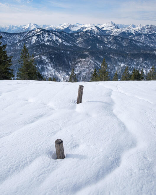
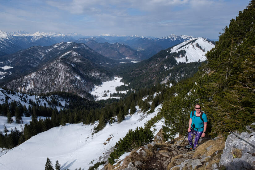
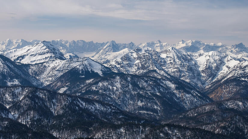
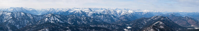
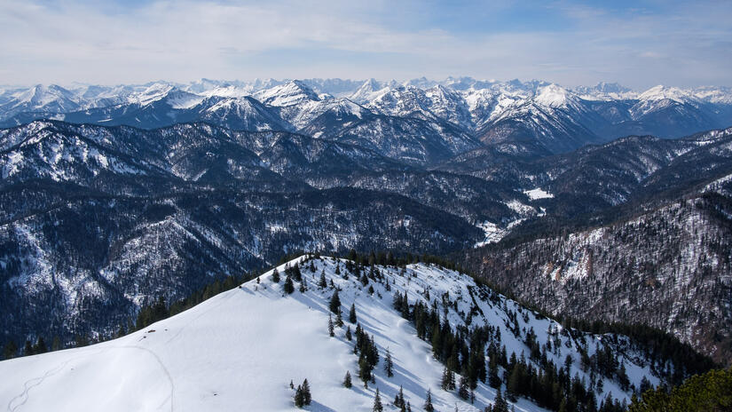
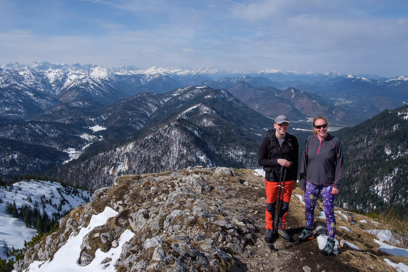
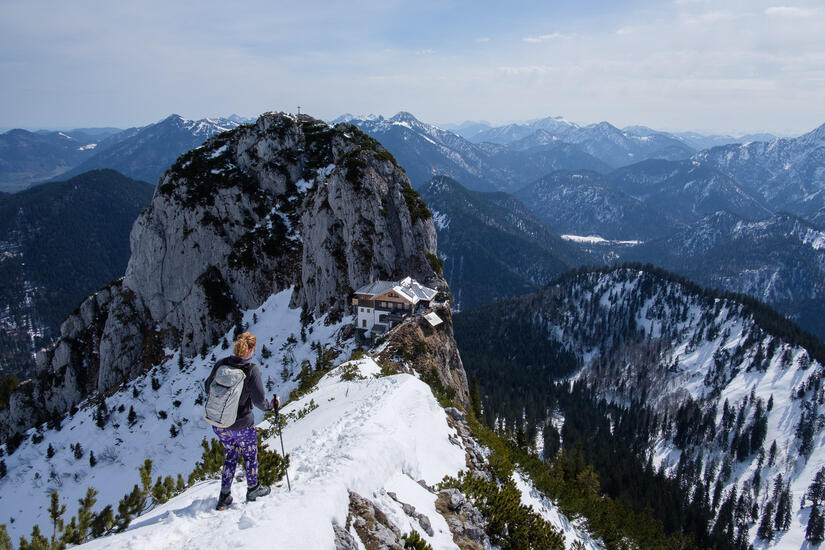
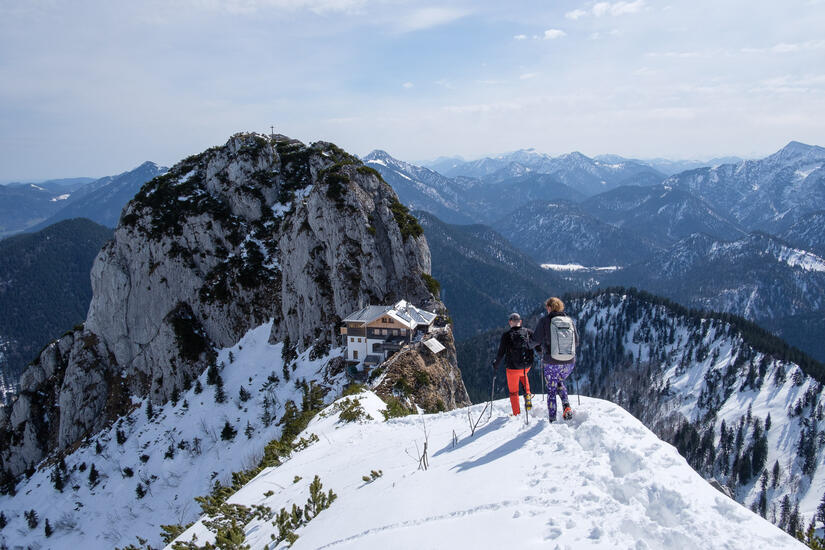
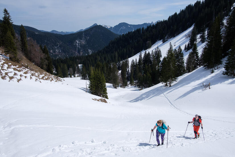
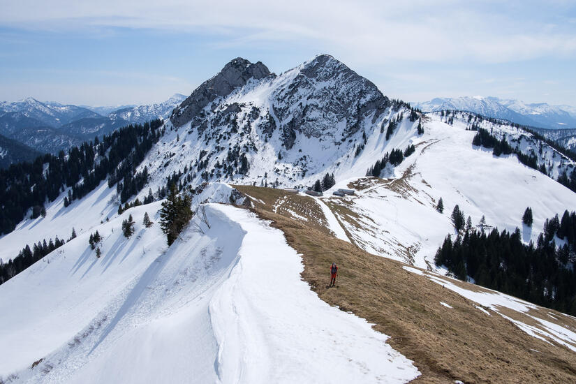
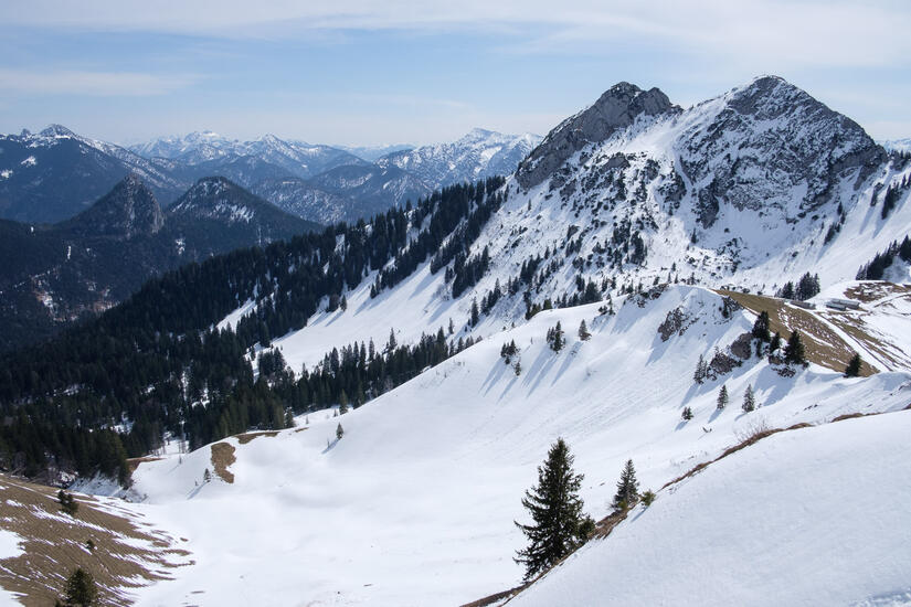
We set off on a sunny and relatively warm morning and made good progress on the relatively snow free ascent up to the Sonneberg Alm. The sun was really warm despite it being early, but the views were wonderful. From the alm the route up the Roßstein looked improbable, but unsurprisingly it was fine as it snaked its way up a hidden line of weakness. We made it to the summit without putting our spikes on, however after enjoying some lunch and the view we put our spikes on for the descent to the Tegernseer Hütte and down to the north, as the start of the descent was more exposed and the descent from the Hütte was in the shade and was likely to be icy.
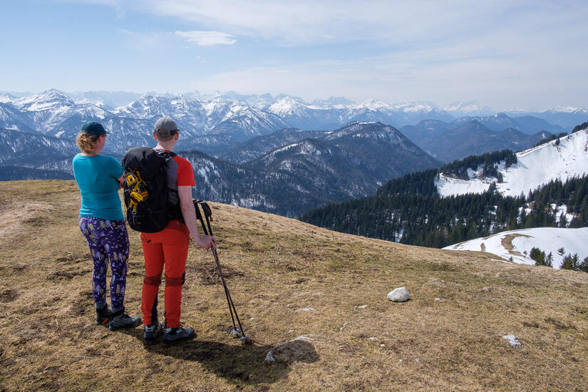
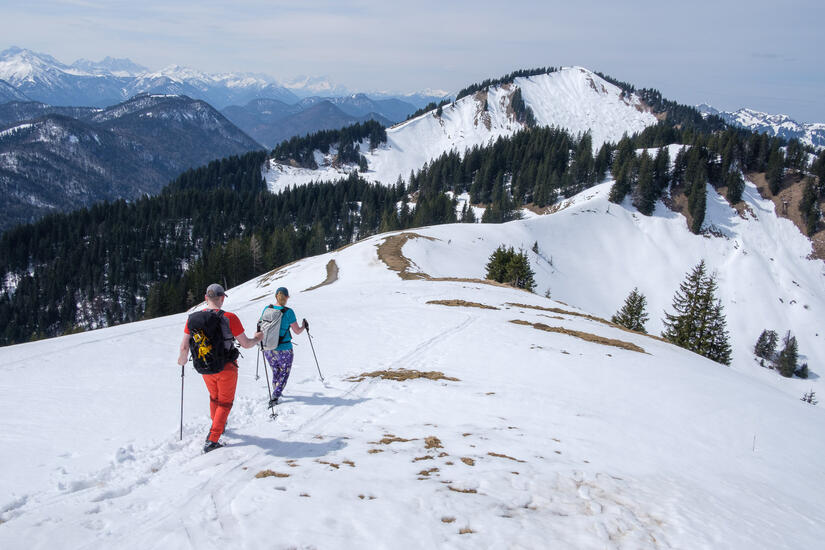
The descent was fine, but became harder as we moved out of the shade and into the warm melting snow. Due to a combination of missing the path, and deciding that the path looked like very hard work we made a slight detour which involved some extra ascent. It was very strange walking up Hochplatte, as there was hardly a path and no snow, so felt like a fairly sudden contrast from out descent from Roßstein.
The decent was fairly hard going to start with due to the excessive amount of snow on the path, but as we lost height the snow became thinner and it turned into a lovely gentle descent back down to the car.
Comments