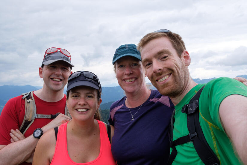
We are moving to Munich soon, and as part of my relocation package my company pay for a pre-assignment trip. We decided to make the most of this by adding on an extra three days in the mountains with our friends.
We had hoped to stay away, but the good forecast and post covid enthusiasm meant that everywhere was very expensive which meant we did 2 day trips.
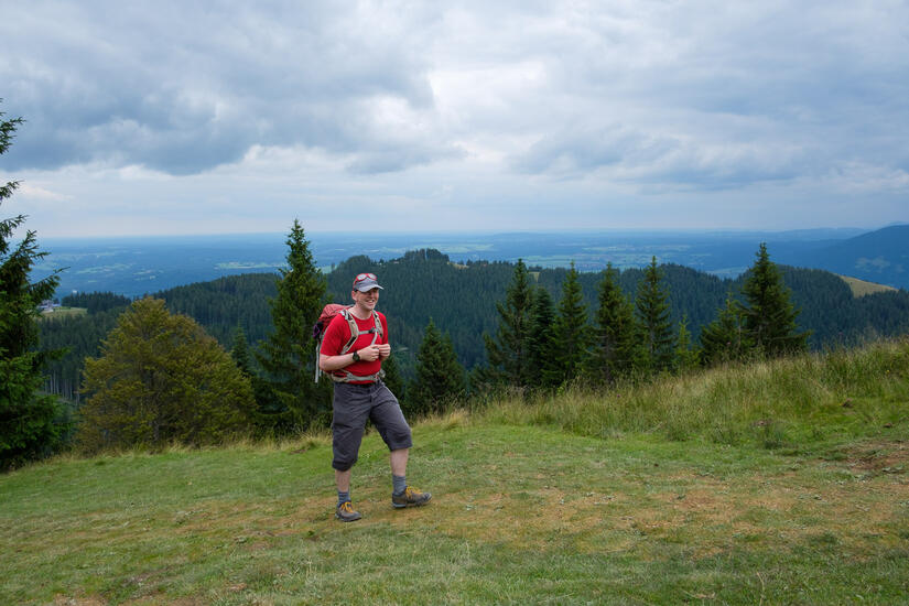
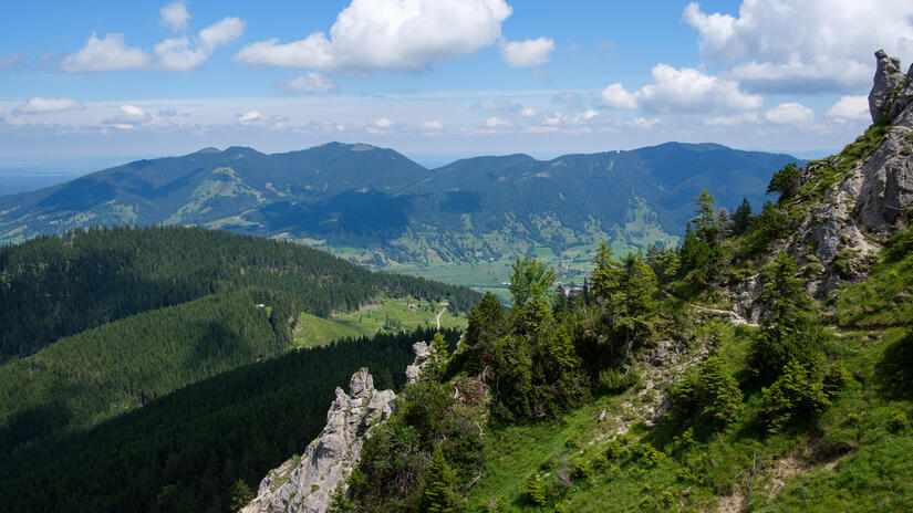
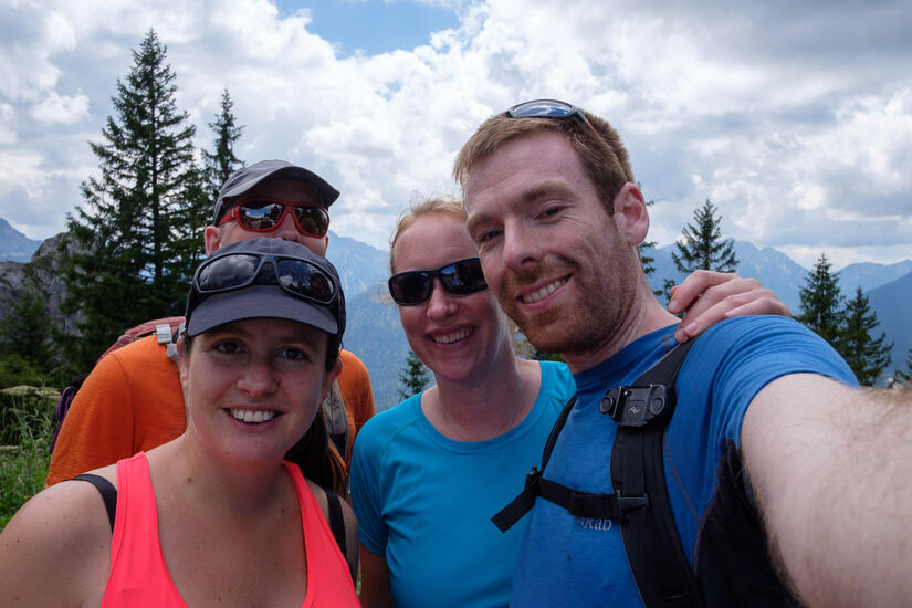
Zwiesel
On the first day the weather forecast wasn’t great, so we stayed as local as possible and did a loop which took in the Zwiesel, finished at a restaurant and had a lift to take us back down. The walk was not that exciting as it was mostly in the woods, but it was lovely to be out walking and catching up with our friends. The views from the summit of Zwiesel were wonderful, and I will be back for sunset later in the year.
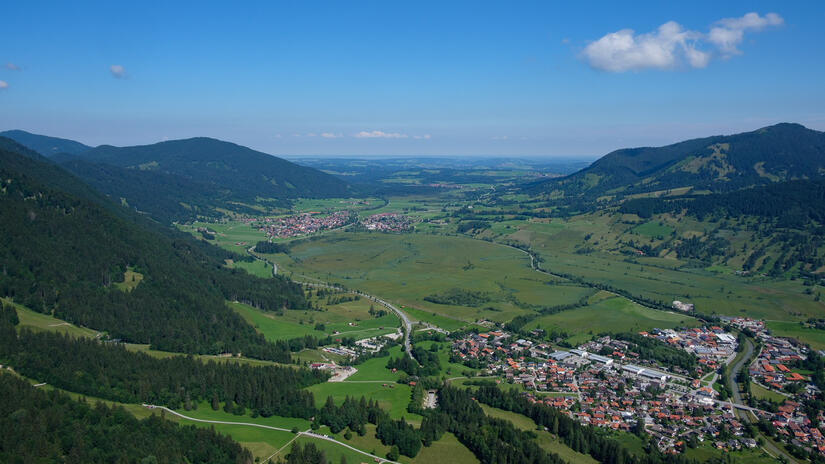
Kofel to Sonnenberg
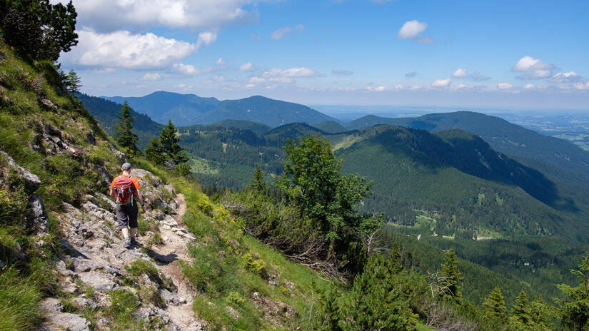
The next day the weather was much better and we had a longer day out above Oberammergau where we climbed the impressive looking Kofel and then headed along the ridge to the Sonnenberg and back down to another lift station to take us back down to the valley.
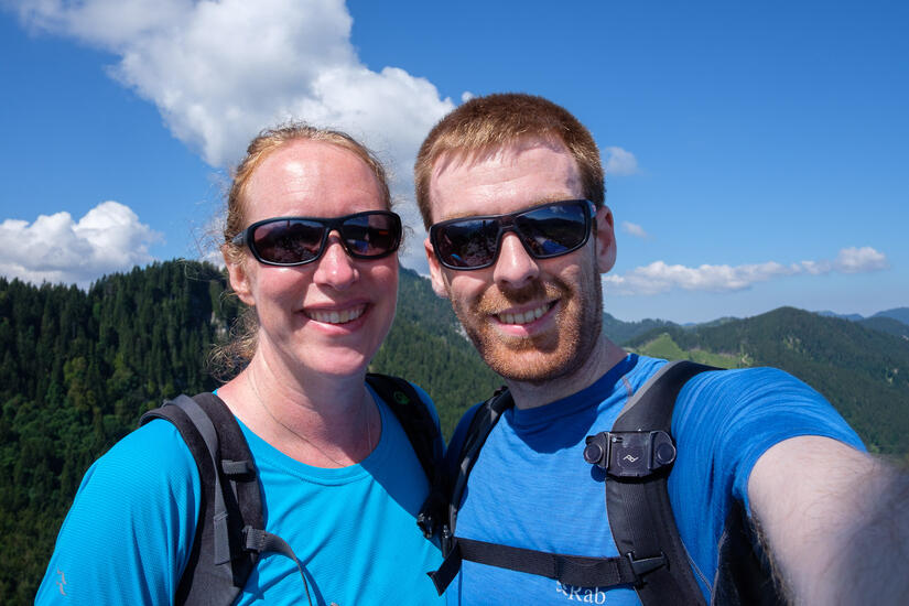
The walk up to Kofel was no where near as brutal as it looked from the map or the valley. It has some enjoyable scrambling to get to the top, where we were treated to brilliant views up and down the valley.
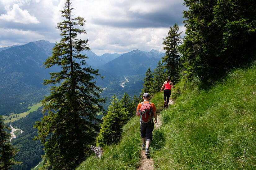
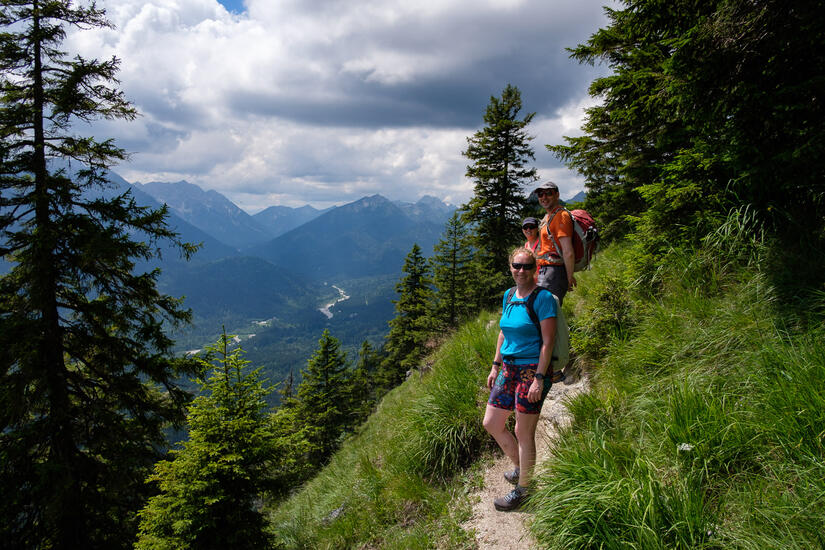
We then descended back into the trees and headed along the ridge and then ascended up to the Sonnenberg. This ascent was also fairly abrupt, but we were soon on the path near the summit of the ridge which was easier going and above the tree line. This was really enjoyable and we enjoyed a good path and excellent views until we arrived at the restaurant at the end of the ridge.
After a beer and a bagel we headed down to the lift station for some proper lunch and the lift back to the car.
Comments