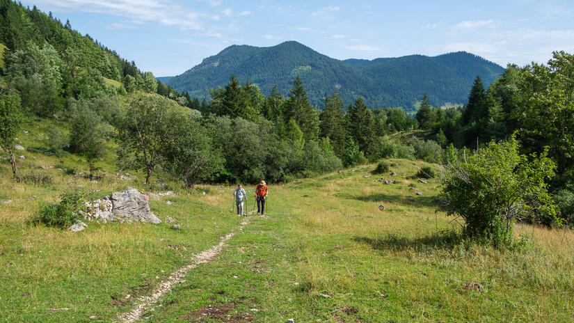
Having previously climbed the Brecherspitz, we decided to join the IMG group walk which went from Neuhaus train station, to the Spitzingsattel and then up the Brecherspitz Ostgrat, before descending to the lovely Obere Firstalm and back to the Spitzingsattel.
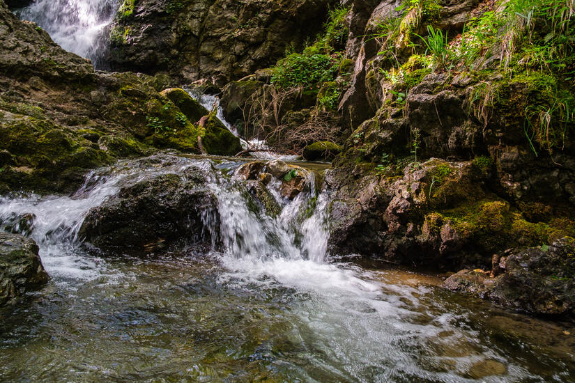
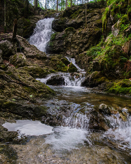
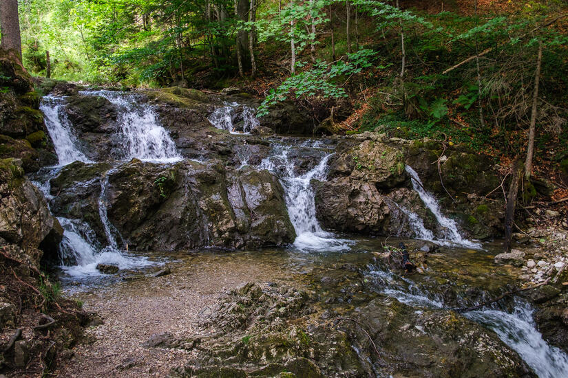
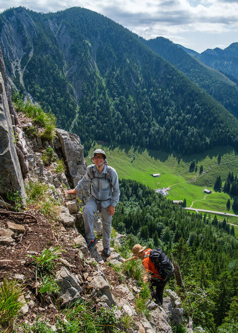
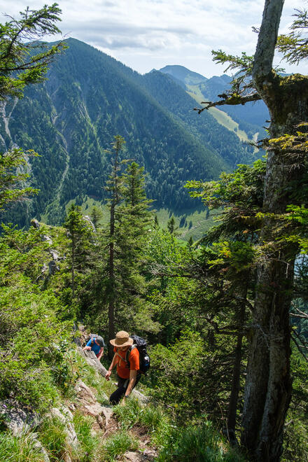
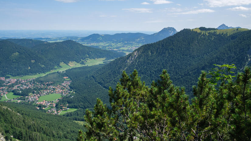
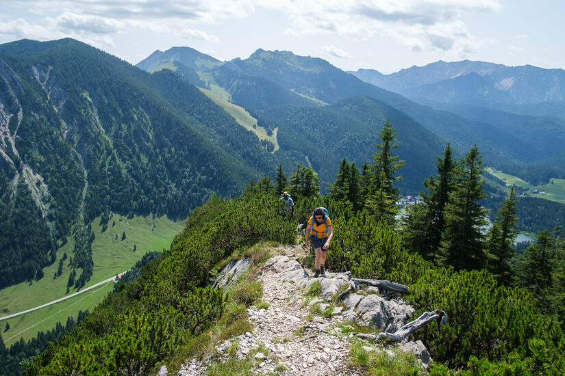
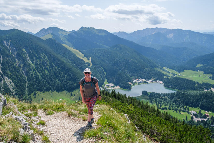
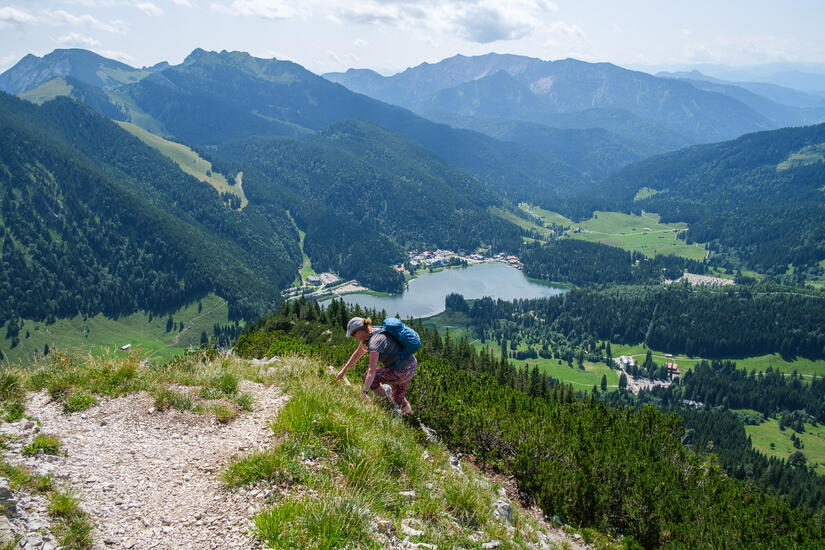
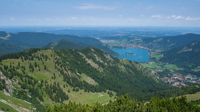
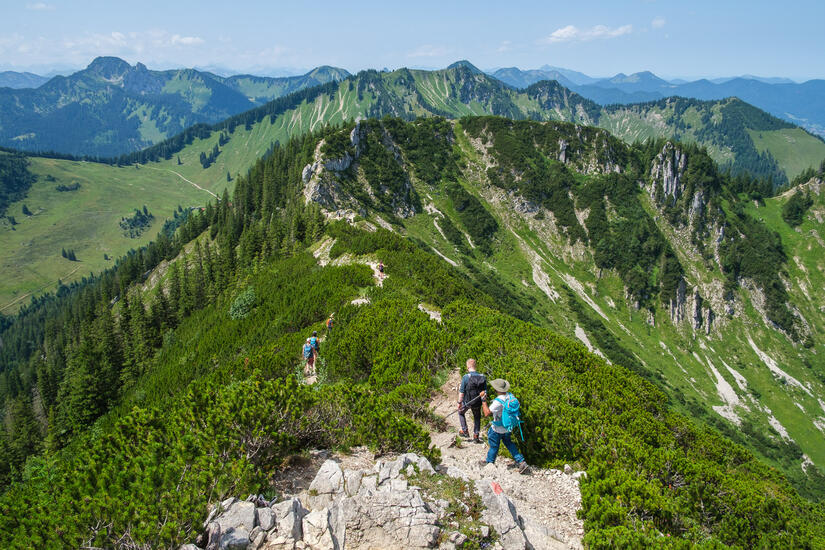
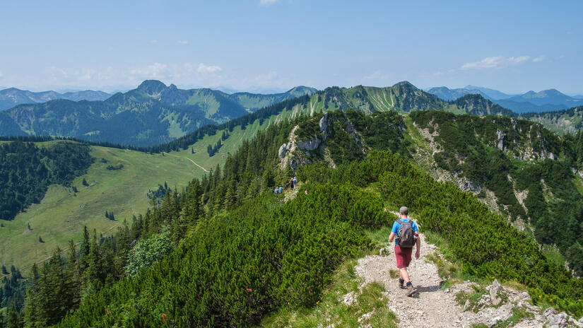
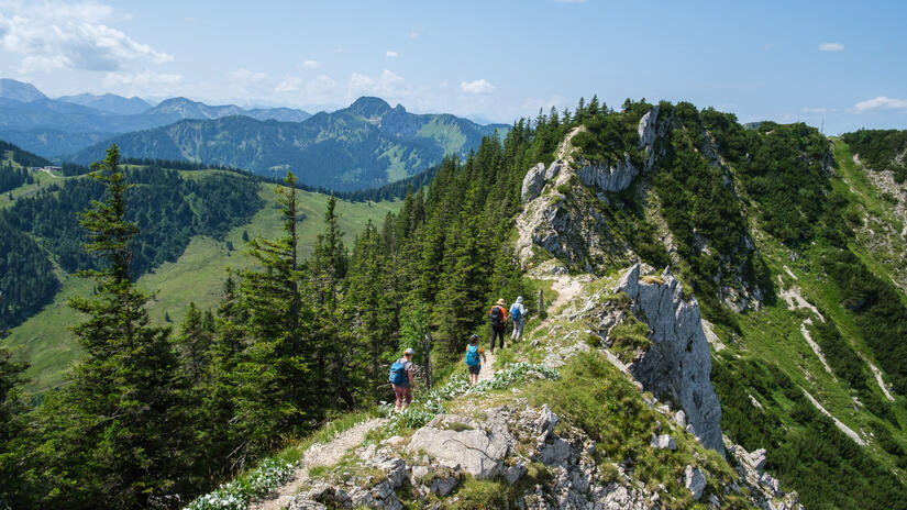
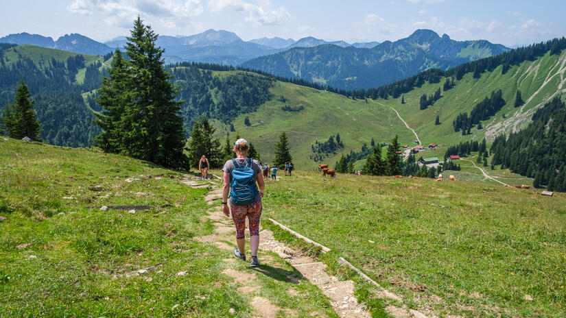
The walk up to the Spitzingsattel was very pleasant and for once was a gradual warm up as the ascent was never steep and the diversion to the Josefsthaler Wasserfälle was definitely worth it. We were soon at the Spitzingsattel and at the start of the route, which headed steeply up the Brecherspitz Ostgrat in the woods. There were a few short sections of easy scrambling and eventually we emerged from the humid woods onto a sunny ridge which wonderful views in every direction.
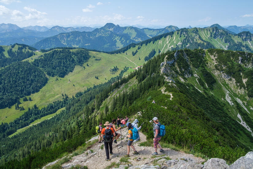
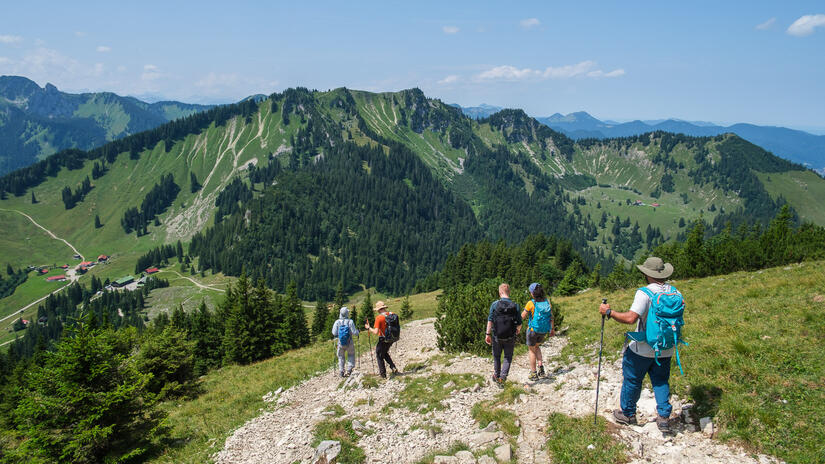
Our route was relatively quiet, so it was a bit of a shock when we got to the summit of the Brecherspitz to find the crowds who had climbed it by one of the other two normal routes. We enjoyed lunch on the summit before descending to the Obere Firstalm for a welcome Eiskaffee and a drink, before making the easy walk back out along the Forststraße.
Unfortunately the public transport back home didn’t go quite a smoothly, as after a 30min wait for the bus we were not able to get on it as it was full. Thankfully the bus 30mins later was not as full and we made it easily back to Munich in time for our evening plans.
Comments