With an excellent forecast for the next few days I hatched a plan to head over the big mountains behind the main ridge at Bir-Billing to sleep at the head of the Kullu Valley near Manali and the Rohtang Pass. Due to the good forecast, we headed up to launch a bit earlier than normal, and the atmosphere was really buzzing with lots of people looking forward to the great conditions and loaded with all of the VolBiv equipment for the next few days.
Day 1 – XC Distance: 63km, Highest Altitude: 5500m
Unfortunately after launching the conditions were very slow, and it took an hour to get up to 3300m above the peak above launch. This felt very low to be heading over into the back – but with the hope that the conditions would be less stable I made the jump anyway, with the knowledge that others had managed to climb away. After a long glide to a spur without any other pilots on I was feeling very low and had some concern when I didn’t immediately find lift, I really didn’t want to bomb out here.
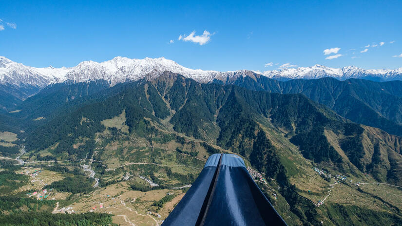
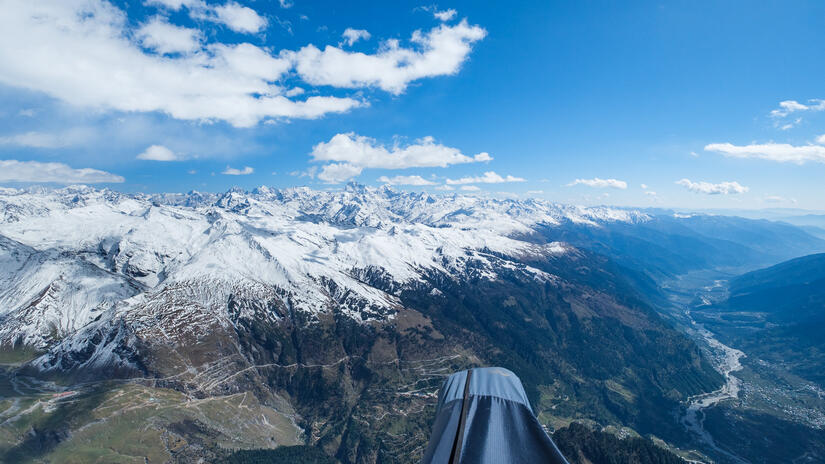
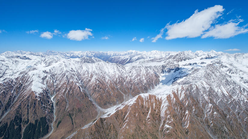
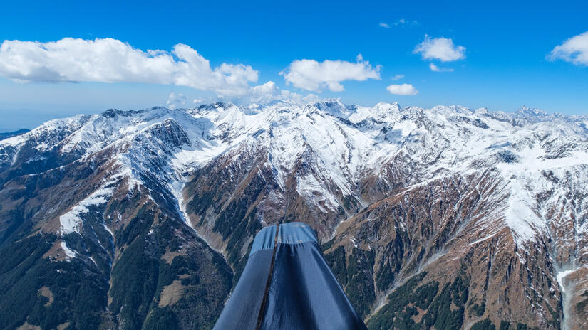
Thankfully I soon found lift and it quickly became a very strong series of climbs which took me up to 4500m, which would then become my lowest altitude for the rest of the flight. From this vantage point the view into the bigger mountains was absolutely incredible, as I flew deeper into the mountains heading north towards the main ridge of the Dhauladhar range. I was also very lucky to have some other paraglider pilots around me to really add to the photos.
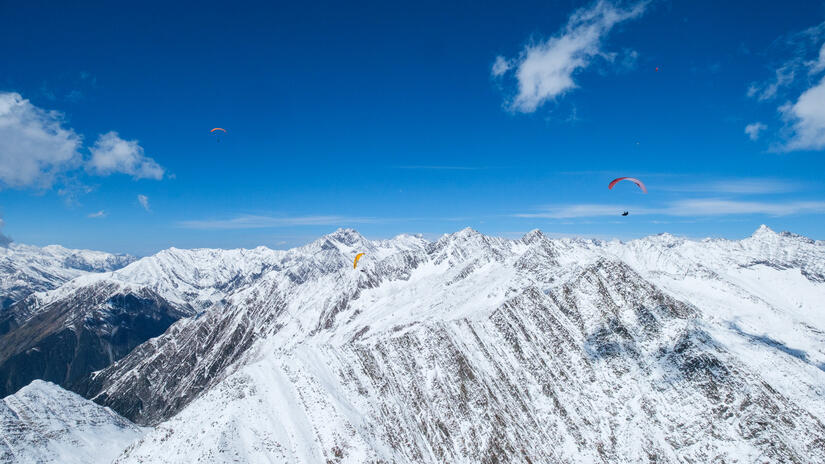
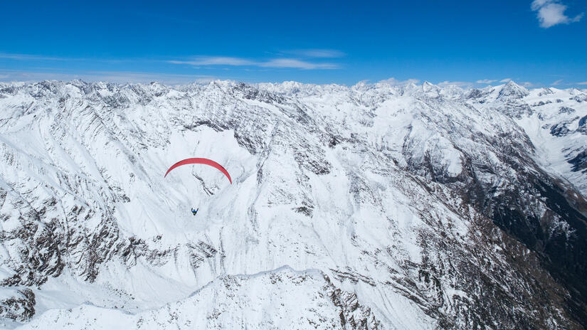
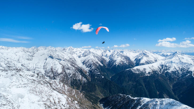
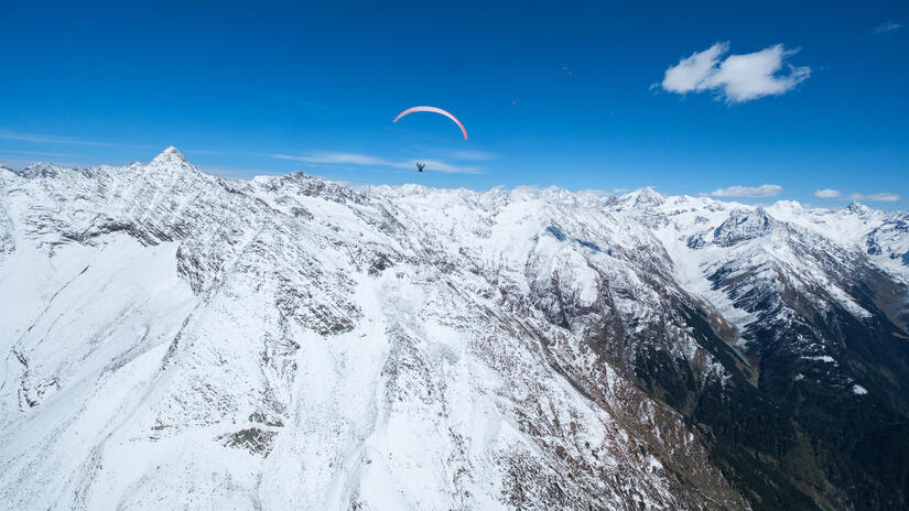
When I reached the main ridge of the Dhauladhar range I climbed up to 5500m, where I could really feel the altitude despite sitting still in my harness, it was also incredibly cold despite the large number of layers that I was wearing and my heated gloves being on full power. However the view was breathtaking, everything I wanted from flying in the Himalayas. From here it was a case of picking the best line for the conditions over the pass into the Kullu valley, which with the high cloudbase was very easy, but still a relief to have made it over into my target valley.
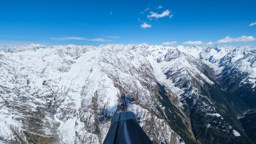
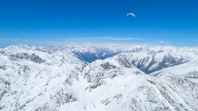
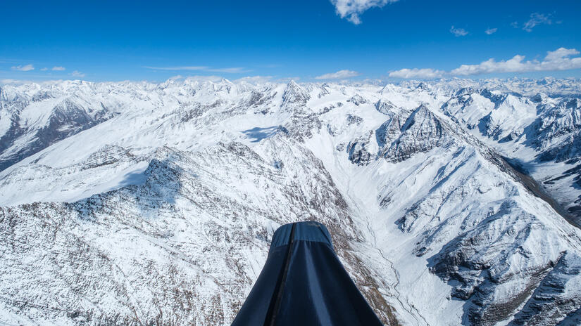
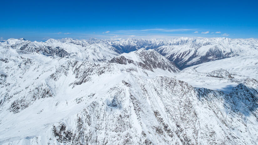
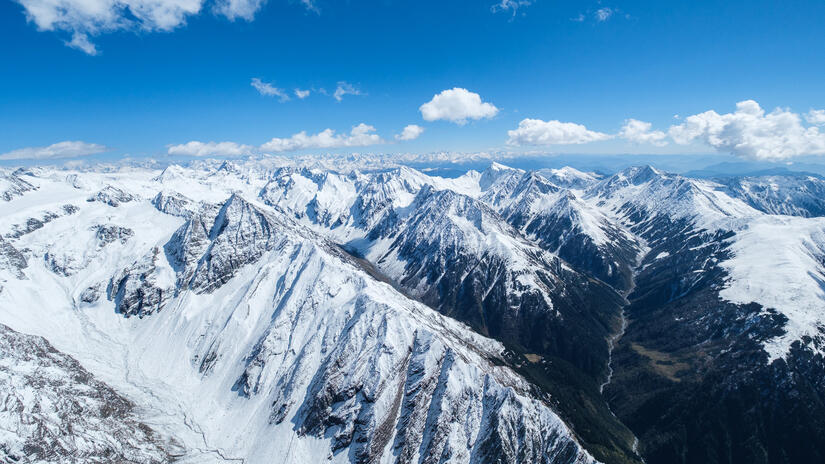
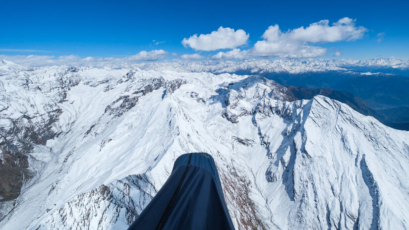
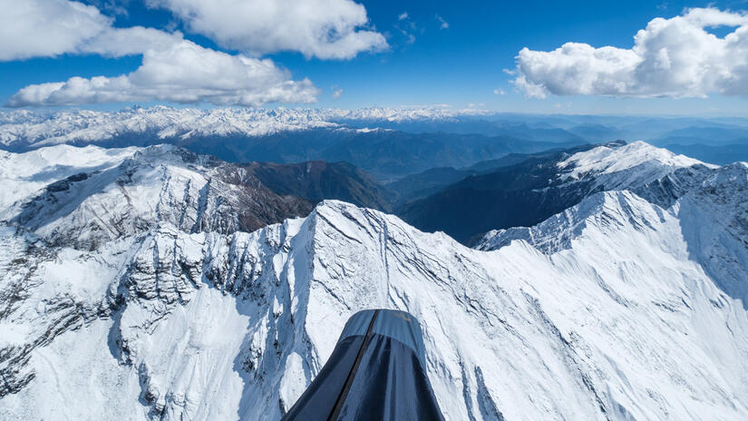
Having crossed the crest into the Kullu valley I made one more large climb and then essentially went on final glide past Manali and the usual Bivi spot there, which looked very snowy and uninviting, to my target spot at the end of the Kullu valley near the Rohtang pass.
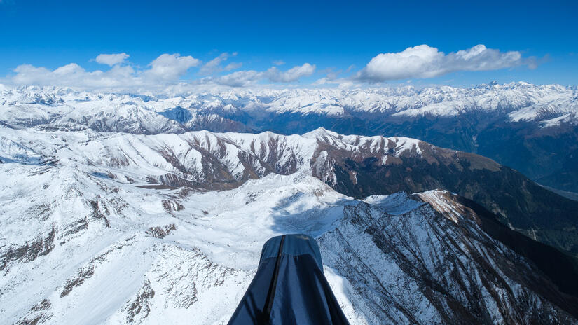
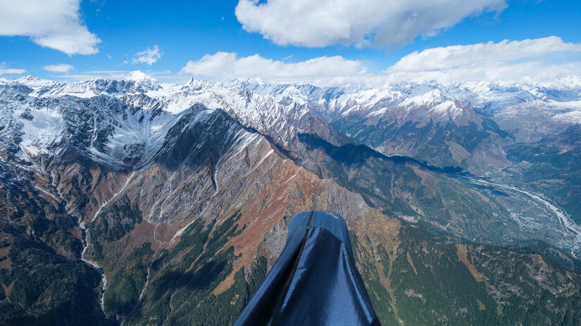
As I arrived over the Bivi spot and was looking at how to approach the landing I flew into some very strong lift, which I happily took which gave me a wonderful view over the Pir Panjal mountains and towards the Lahaul peaks and onto the Great Himalaya. This was the perfect end to the flight, which is certainly one of my most memorable flights to date. At this point I was pretty cold, the air was pretty bumpy and I was aware that I had been at high altitude for a while, so decided it was time to go and land.
At Shaggy Dog the top landing options are plentiful, with a lovely large grassy slope below and above the camping spot, however the thermal that I found earlier was still very strong as it was only 14:00, about the worst time to try and top land, which it made getting down to land very difficult. After numerous failed attempts due to getting rocketed back into the sky, I eventually managed to land a fair way up the grassy slope above the normal camping spot.
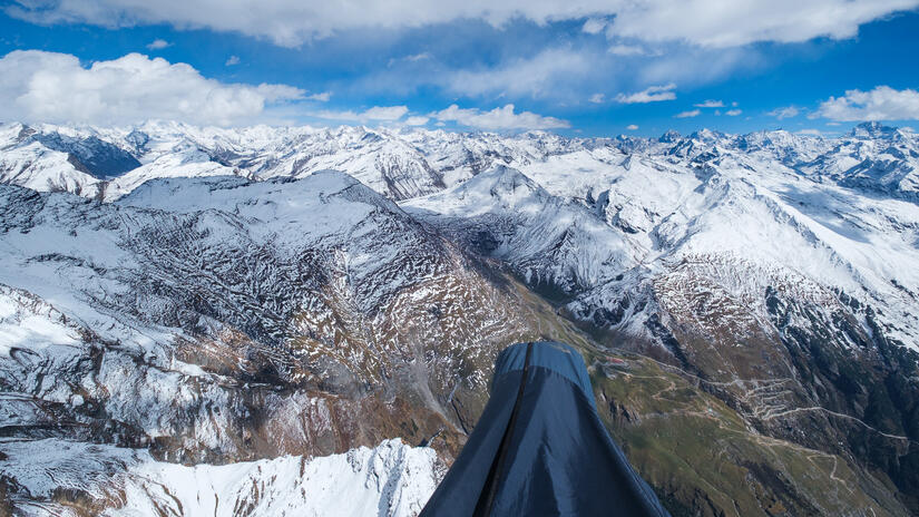
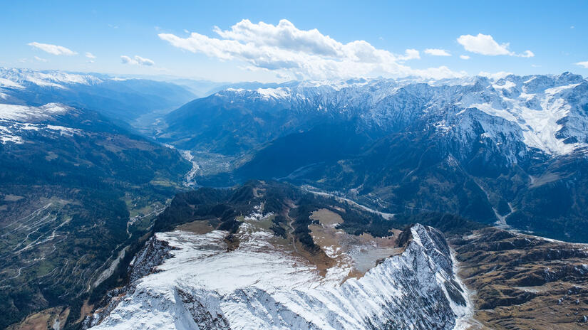
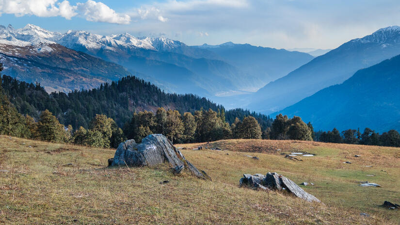
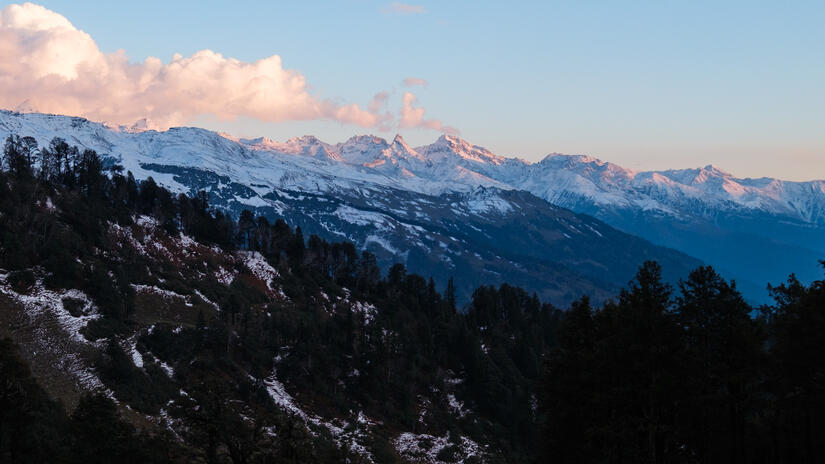
While I could have camped near where I landed, I decided to walk down as there was a small pond I could use for water and it was more sheltered from the wind. The camping spot was really beautiful, with an amazing view down the Kullu valley and up to Hanuman Tibba. I spent the afternoon setting up camp, eating lunch and editing photos before watching the sunset and eating my dinner in the dark.
As I was at 3400m, as soon as the sun want behind the mountains the temperature fell quickly, so after I finished my dinner I headed into the tent to get cozy in my sleeping bag, where I read my book until I went to sleep early.
Day 2: XC Distance: 104km, Highest Altitude: 6000m
Overnight I was generally ok from a temperature point of view and didn’t actually need to use my paraglider as an additional quilt. Unfortunately my back did not like sleeping in the tent, so I didn’t sleep brilliantly, but all things considered I felt pretty good when I woke up in the morning.
After enjoying a cup of tea, and forcing as much breakfast down as I could manage, I packed up camp and made the walk up the grassy slope to launch. While I could have launched from camp, heading a few hundred meters up the slope greatly improved the chance of snagging that morning thermal in the gully to the west of the campsite. Unfortunately, despite doing lots of hiking before heading here and having no problems, my pelvis really didn’t like doing the ascent with the heavy VolBiv rucksack. Thankfully it wasn’t that long and I was soon at a nice flat spot to setup and launch from.
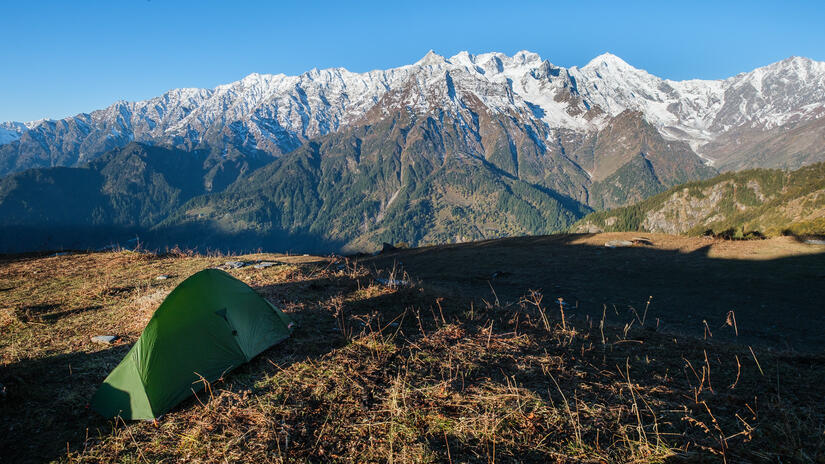
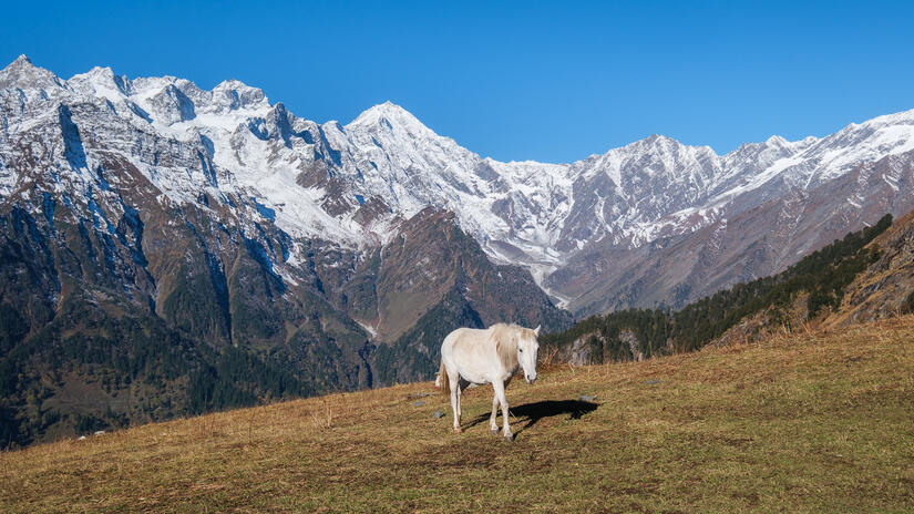
After waiting until I was sure the day was working, I got ready to fly which took a lot longer than expected as the ground was full of grass with seedballs which just wanted to eat the lines, so getting to the point where the glider could actually launch took some time. After launching I quickly found a thermal and worked it up to the top of lift at about 4000m before crossing the valley to the sunlit slopes which rocketed me straight up to 5300m.
The views in the morning were even better than the day before, as the air was clearer and there were no clouds. It really was a spectacle to behold.
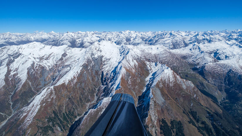
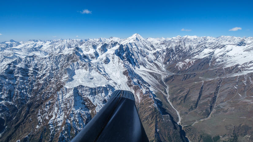
As I started flying back south down the Kullu valley I saw some other pilots heading my direction, so I turned around to take some photos rather than focussing on flying quickly. The conditions were not ideal for taking photos, so I couldn’t always capture the moments at the best times, however I am still happy to have caught the moment.
As I started making my way back towards Bir I was very cold, the combination of a chilly night, poor sleep and being at 6000m certainly took its tole on my ability to keep warm. To add insult to being so cold, my water was frozen as well so I couldn’t drink despite being very thirsty due to the cold dry air. As I left the Kullu valley I had to make a decision, if I stick with my original plan and head to Horse Lake for another bivi, or if I head back to Bir. In the end I decided that due to being tired, having had a sore back the night before and having a headache, that heading back to Bir was the best option, so instead of heading south to top land I headed back to Barrot Peak.
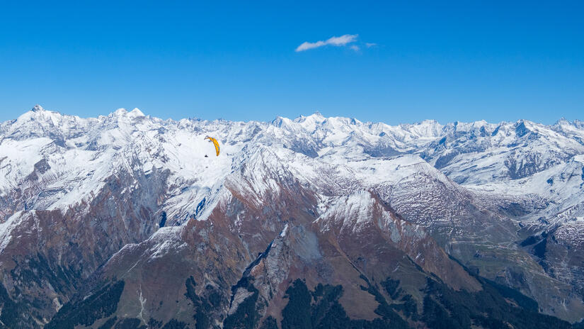
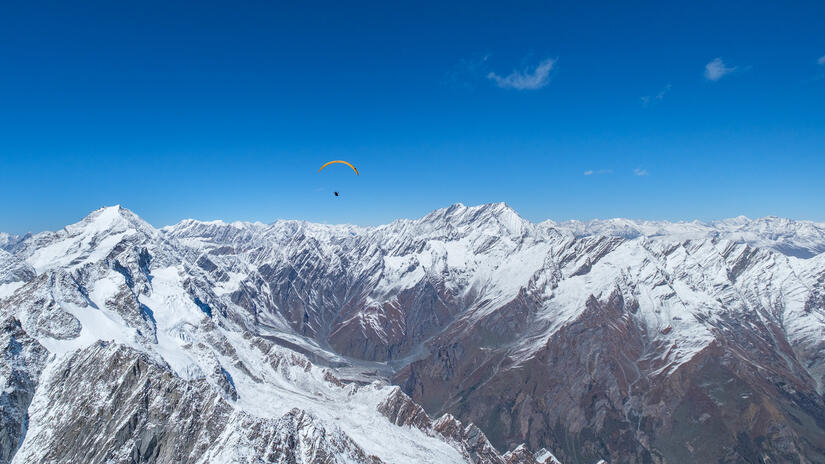
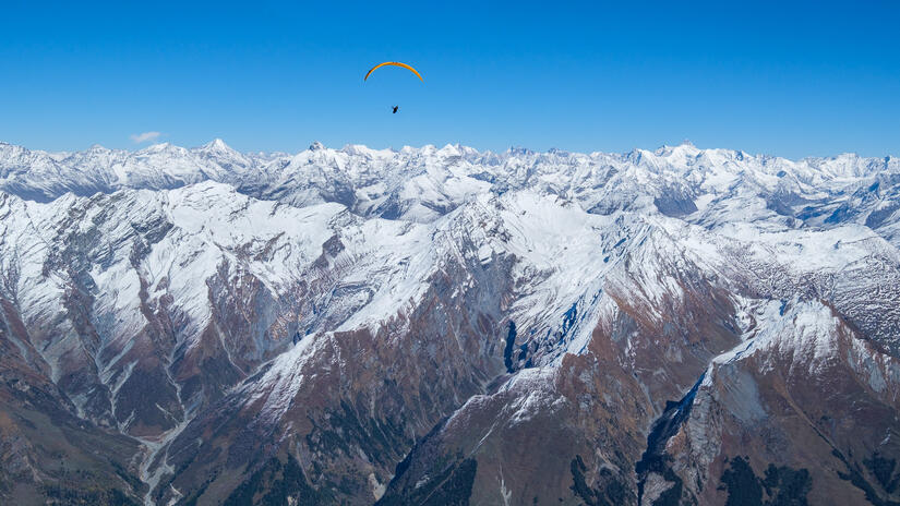
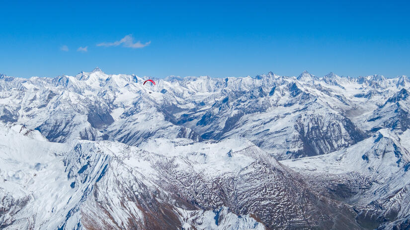
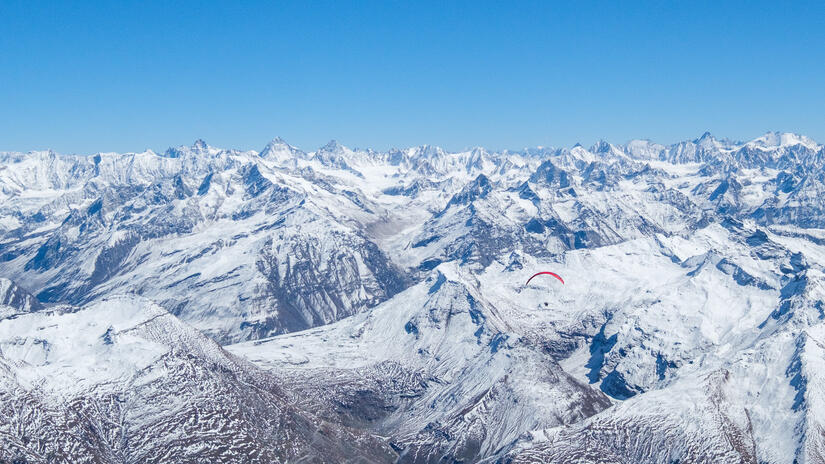
I mostly retraced my route back to Barrot Peak, cutting the corner slightly. The day was just as spectacular, but as I was cold and I was happy with the photos from the day before, I mostly just focussed on enjoying the moment rather than taking photos. From Barrot peak I decided to elongate the flight by heading towards Dharamshala via the “back ridge”.
I headed west until I reached lower cloud, at which point I turned around and went on a very long final victory glide, above the inversion in lovely smooth air, which would have taken me all the way to landing.
However on approaching Bir I realised that I was almost at the 100km mark, so I decided to thermal back up below the inversion a few more times to get up to the even 100km, before heading to land, having had a brilliant few days.
Comments