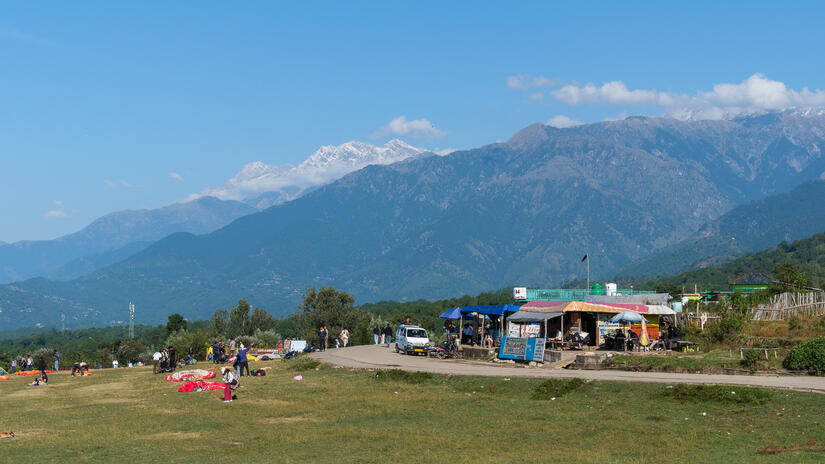
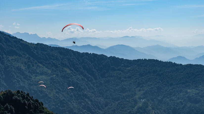
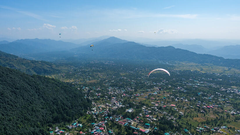
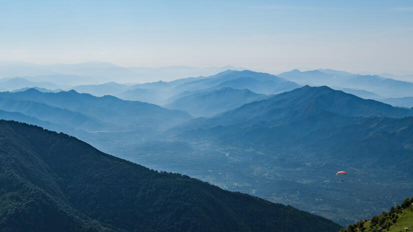
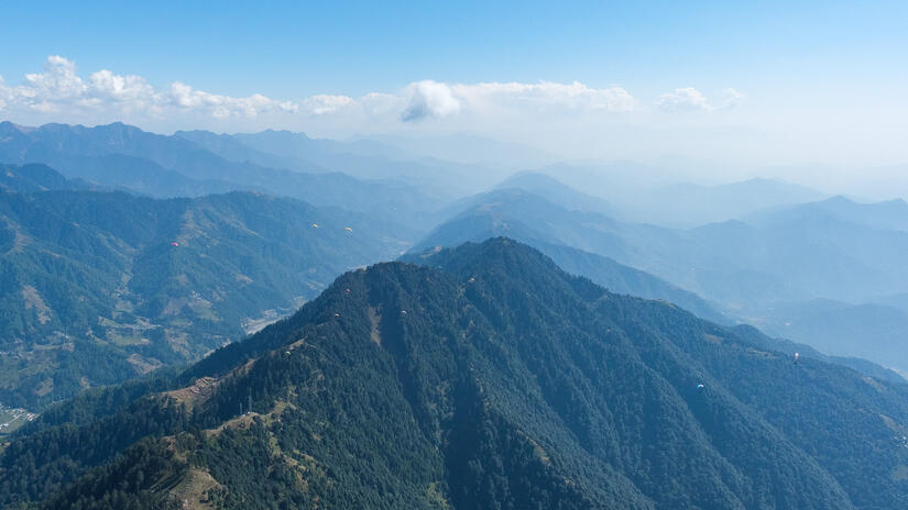
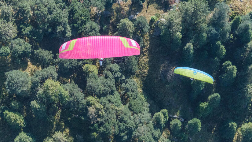
While the real draw for me to Bir is the ability to fly in the big mountains over the back, it is possible on almost every day to have a good flight along the front ridge. It really is amazing what conditions you can keep flying in in Bir. This blog post is about my flights along the front ridge during my tip.
Day 1 – Afternoon overdevelopment and caution
After a long day of travelling, and overnight taxi, I slept very well in the hotel before waking up feeling remarkably refreshed. The forecast for the first part of the trip had lots of room for improvement, but for the first few days that was definitely ok as it enabled me to take a few days to settle in and get used to flying here again.
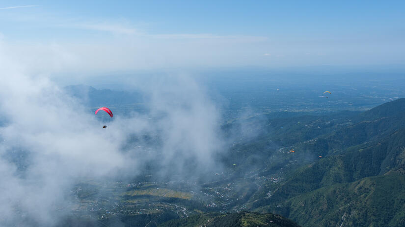
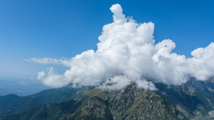
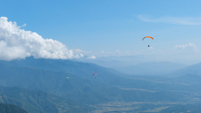
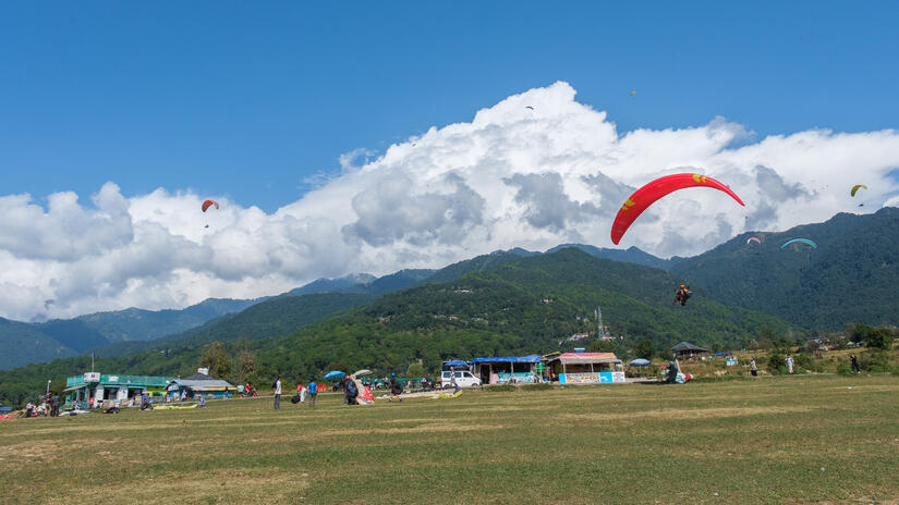
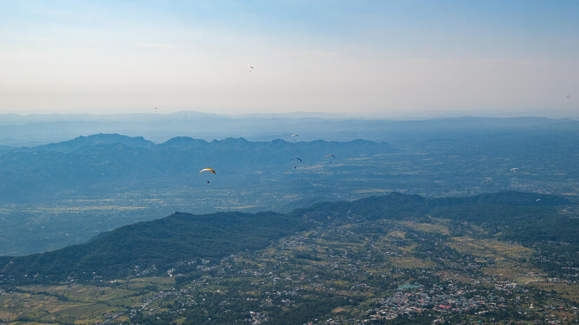
I was expecting to suffer with airsickness on the first day, as this is often the case when I am tired, however I felt good on launch and felt good in the air. The cloudbase was low on the first day, and it was forecast to overdevelop, so I had not planned to go far, and after a short flight I started to get intimidated by the clouds and decided to head back. As it turned out it did not overdevelop and lots of people flew the entire milk run to Dharamshala and back.
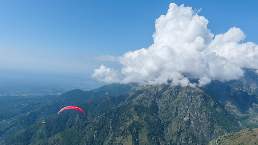
It really is amazing how large the clouds can grow over the top of the front ridge without actually overdeveloping, however it does sometimes happen and people do get sucked into the clouds so some care is definitely required. My rule quickly developed to always ensure there is blue sky visible on the side with the flats, and then you can always run away.
Day 2 – Afternoon overdevelopment
The second day was much the same as the first, however I pushed it a bit further, but again I turned around due to a dropping cloudbase, and not wanting to bomb out.
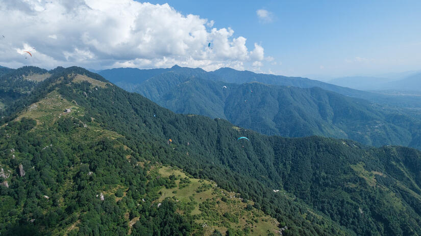
Day 3 – Finally some good xc conditions
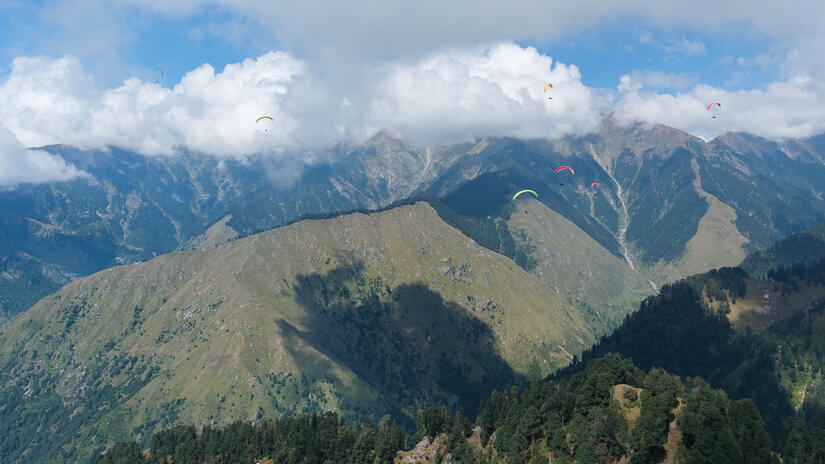
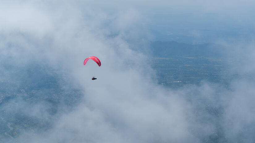
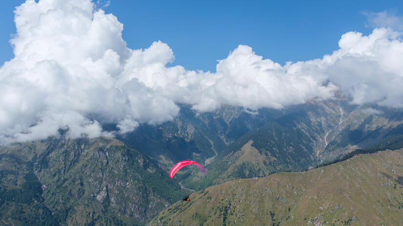
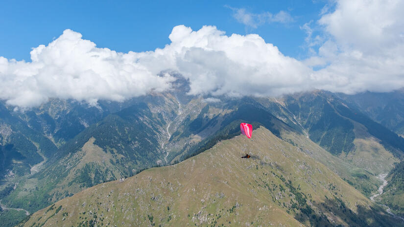
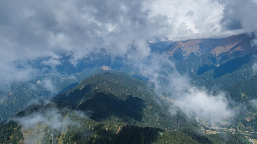
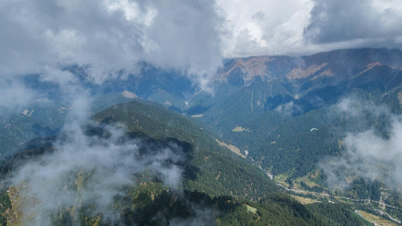
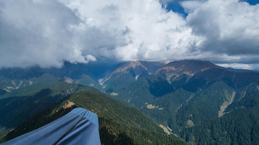
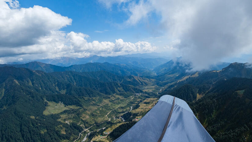
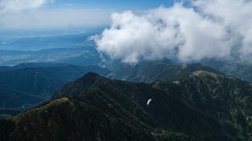
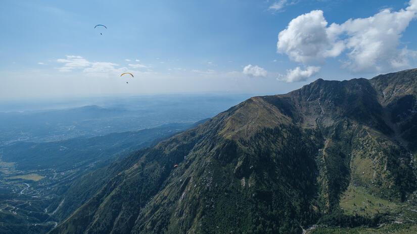
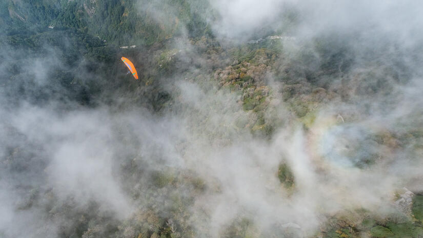
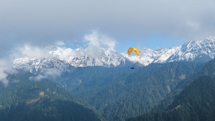
On the third day we had a great forecast, and the atmosphere on launch was definitely more excited than the previous few days. With the higher cloudbase I flew further towards the “back ridge” as far as I could, however the cloudbase was continually dropping as I headed towards Dharamshala. This led to some pretty atmospheric flying conditions, flying over clouds, soaring up the side of clouds and having to lose height to drop below them.
As I arrived at Dharamshala I swapped to the front side of the ridge, with a considerably lower cloudbase, which kept dropping. The route back to Bir was a balance between not being too high and being sucked into the cloud, but not being too low and below the inversion.
I was not always certain I would get back, thinking I might need to bail due to the overdevelopment, however this never happened and I was glad to get back to Bir. At this point the conditions looked great down towards 360, so I decided to carry on to 360, where I met some friend before flying back to landing.
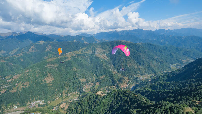
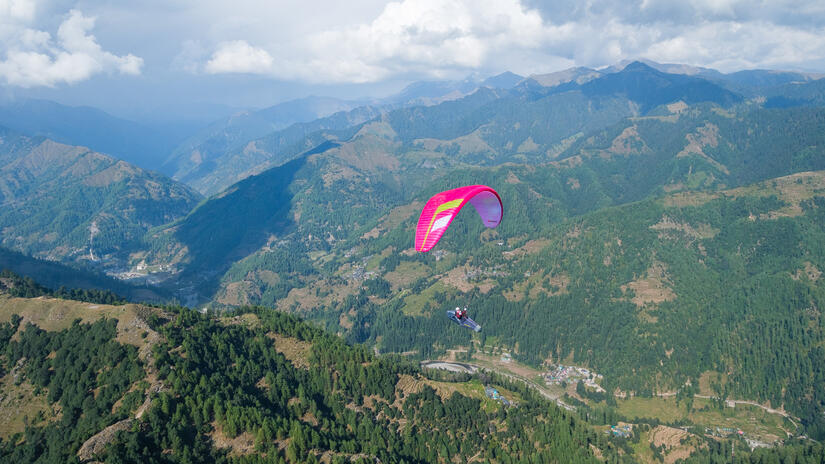
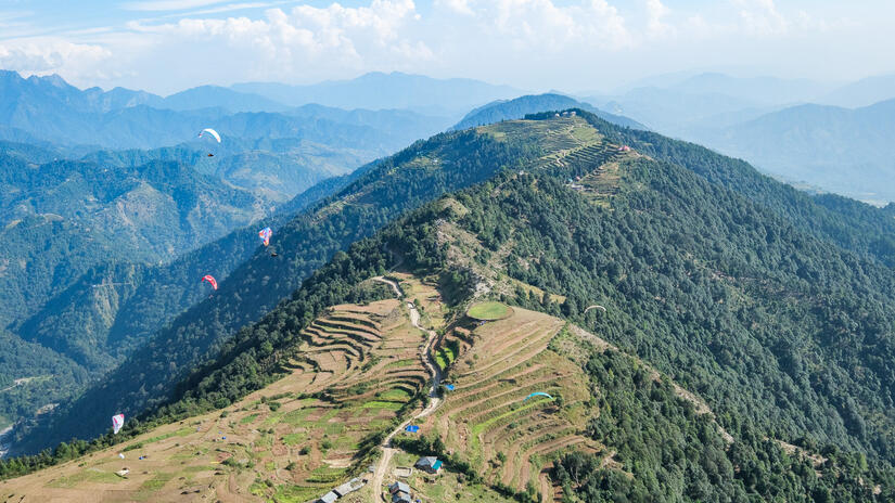
Day 6 – Low cloudbase and lots of cloud
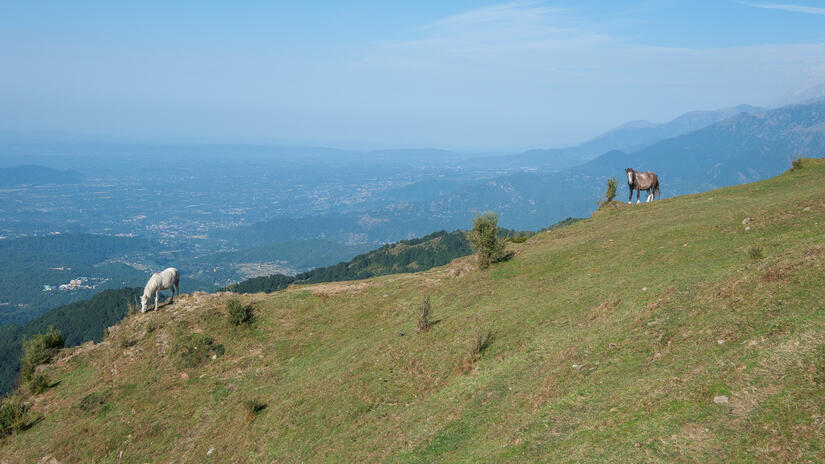
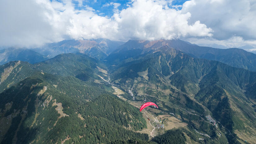
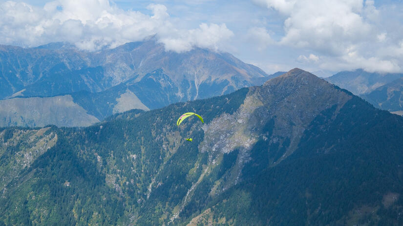
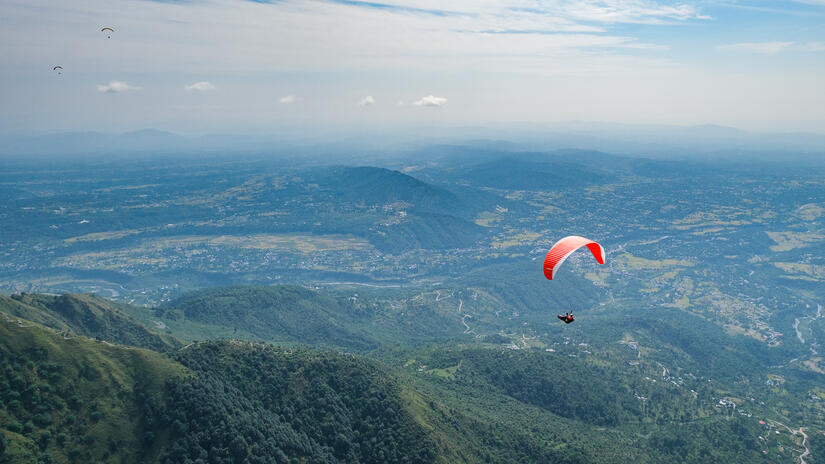
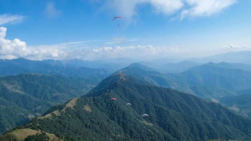
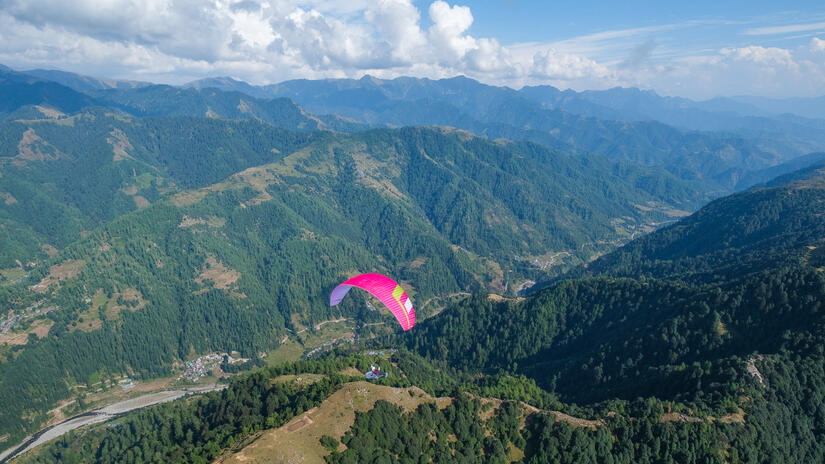
After a day of heavy rain, and one really good flying day, we had another day with lots of cloud and a low cloudbase, at this point I wasn’t that keen to fight all the way to Dharamshala and back, so just settled with a nice flight along the front ridge until I decided I had had enough and headed back to land.
Day 13 – Last day
I almost didn’t head up on the last day, as many of the forecasts were bad, but skysight was very optimistic that the front ridge would be very good and not overdevelop, and it was certainly right. I was one of the first pilots off and headed in direction Dharamshala, not sure if I wanted to push all the way there or not. A few times I considered turning around and didn’t, but after Palampur, after much deliberation, I decided that with the rapidly building cloud that I would head back, as I really didn’t want to end my last day with a long retrieve.
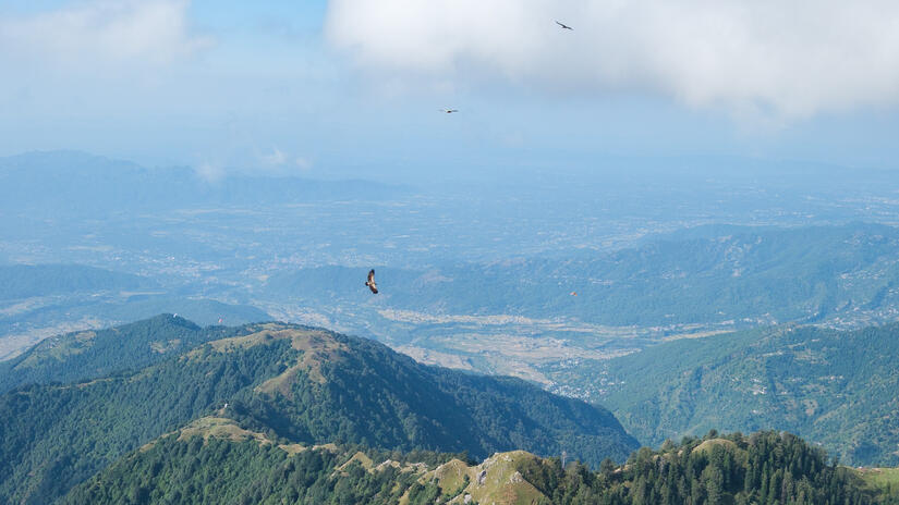
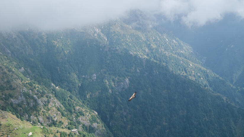
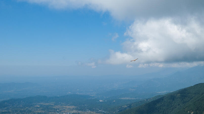
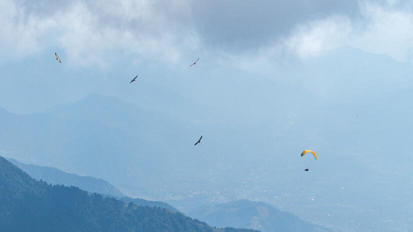
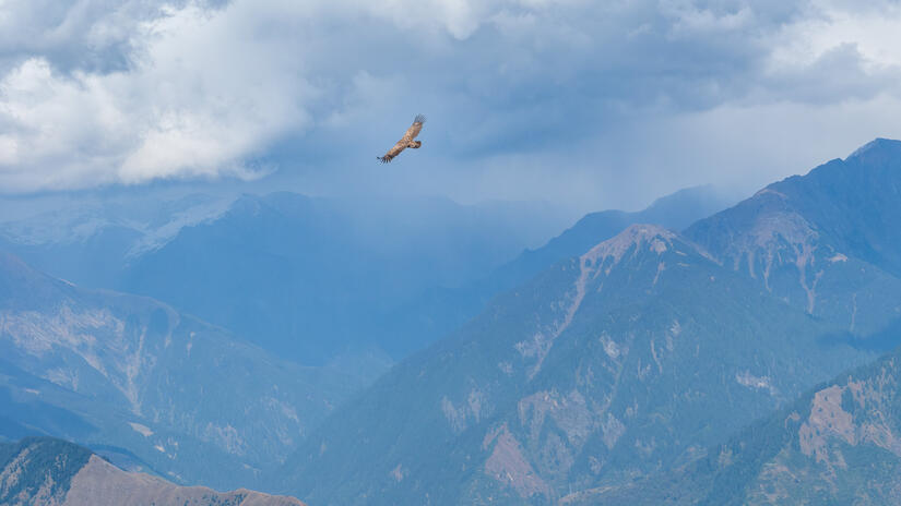
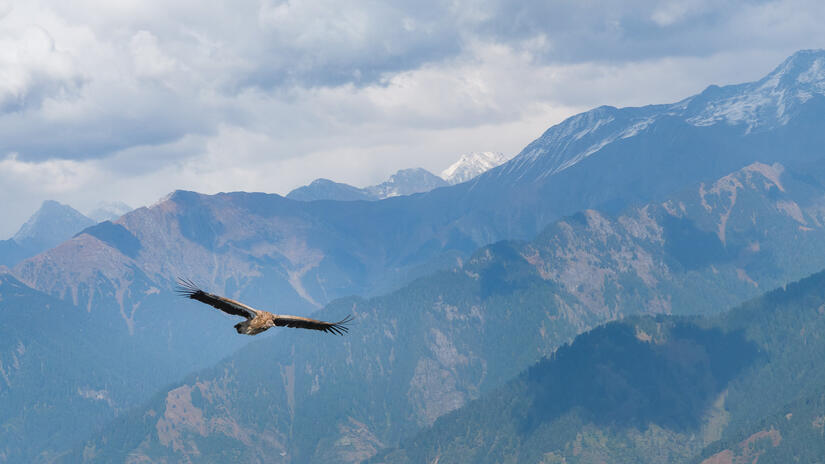
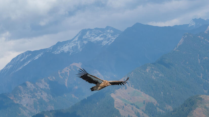
When I got back to Bir the conditions looked fantastic towards 360, so I headed down there, taking some photos of the wonderful vultures on the way there and back. As the conditions beyond 360 also looked good, I decided to continue towards Mandi which was new for me. This section was very fast with no turns, just a slow loss of altitude as I headed further east. I set my turnpoint when I knew I had a 100km triangle in the bag, and made my way back, also with hardly any thermalling, just ridge soaring below the crest, always hoping that more lift would be around the corner, and thankfully it was.
Soon I was back at 360 and making the familiar, ridge hugging, ride back to train station. Here I climbed up above the peak, as some previous experience had taught me that it can definitely be worthwhile! Here I was treated to a wonderful thermal on my own with a vulture at exactly my height, a great experience before going on essentially final glide back to land for the last time.
I had a really great trip, achieving everything I wanted to, but with an even better landscape than I could have imagined due to the snow cover. In my 2 week trip I accumulated 42 hours of flying, it is safe to say that by the end my enthusiasm was waning, in fact on the way back my left elbow was complaining about how ling it had spent holding the rear risers on speed bar!
Comments