The forecast for today was not that great, so after arriving at launch I decided to have a Chai with some friends, rather than heading straight to launch. Although as I was finishing my tea, someone else in the Cafe exclaimed that the first people were climbing away.
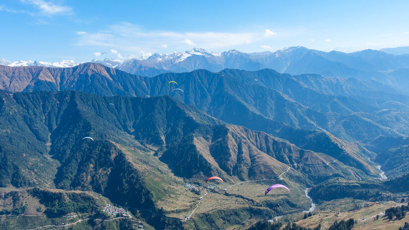
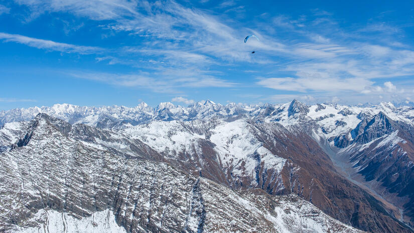
After quickly heading up to launch and getting ready to fly, I took off and was soon at 3300m and ready to cross into the back. I had no firm plan for the day, but as the conditions seemed to be good, I decided to head up towards the glacier with an FAI triangle in mind. However as the conditions had not been forecast to be that good I had not done any specific planning on how to optimise the route to achieve a 100km triangle.
The conditions over the back were good, however the base was lower and the climbs were less reliable than they had been on the previous few days, the main ridge at the back was also pretty windy. Once I had reestablished myself at base I decided that I had gone far enough and then headed east over the Thamsar Pass, a new area for me.
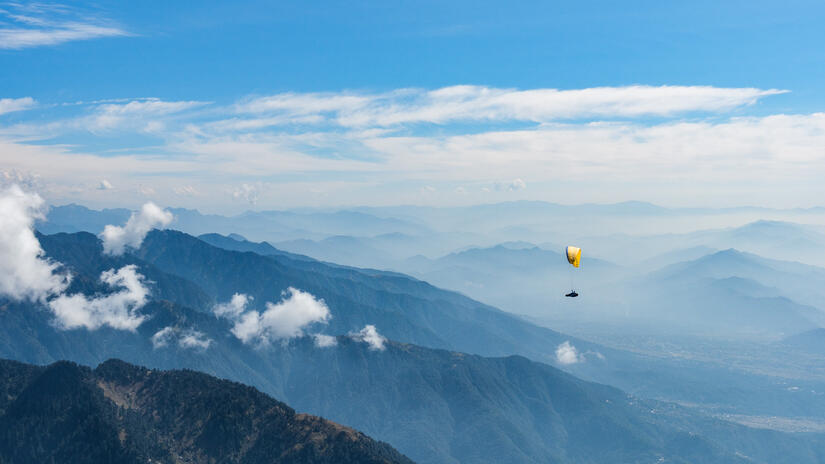
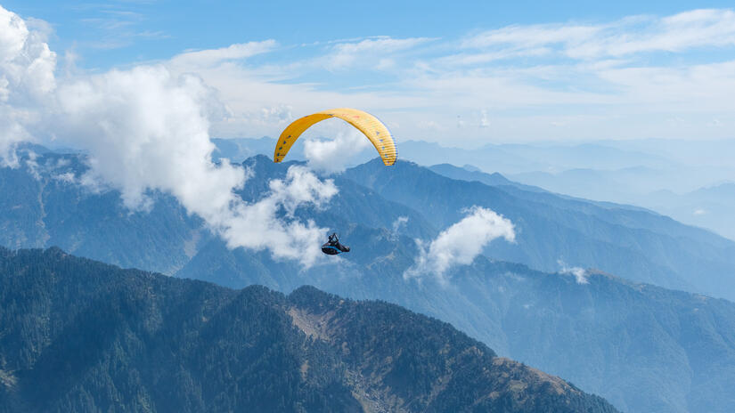
I then flew along the back ridge until the cloud dropped lower than I was, and after some indecision decided to head back towards launch, it looked like the base was pretty low along the front ridge – and after my first week here, I feel like I have had enough fighting while low on the front ridge.
At this point I thought I was going to head south to extend the triangle before heading back to launch, but thanks to my new instrument with its triangle helper and terrain relief map, I could see that if I headed towards 360 then I could extend it significantly. This was a great decision as after climbing back up to base above launch, the flying was easy and fast to 360 and back.
On the way back I also noticed that my open distance was almost 100km, so rather than heading straight back to landing, I climbed back up above launch and headed back west for the last 2km in order to achieve another 100km route.
Given that my expectations for today were low, I had a really good flight and it was nice to have another flight over the big mountains up to the glacier.
Comments