We had two nights booked in the Jamtalhütte for some ski mountaineering and in the week running up to the trip, the weather could not make its mind up as to if the weekend would have excellent weather or awful, what was however certain was that the day we approached the hut would be spectacular.
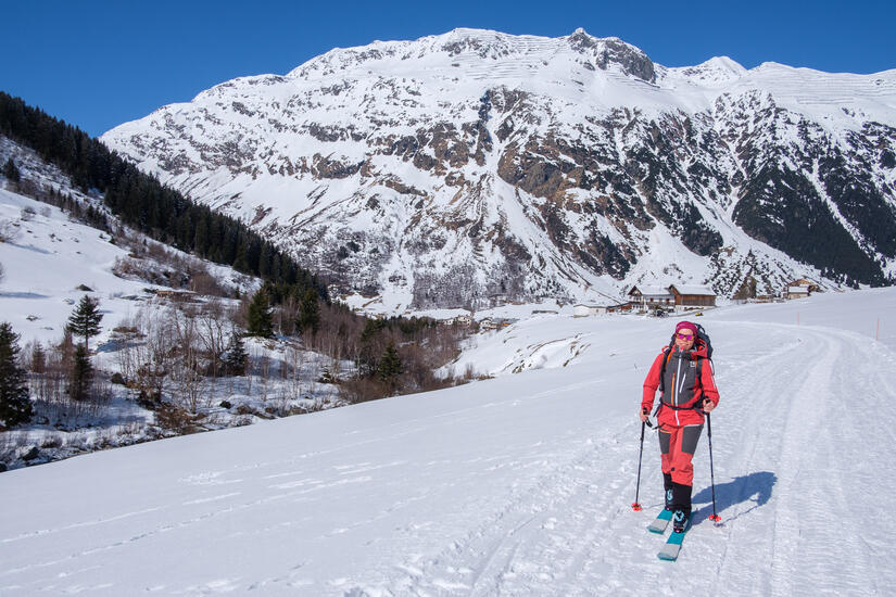
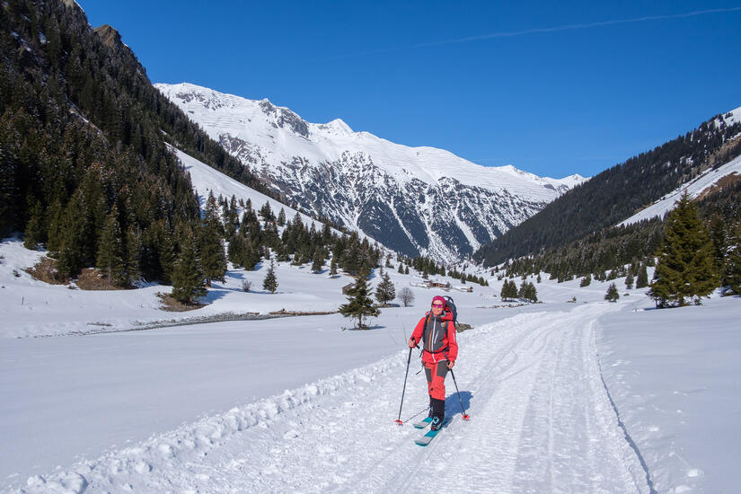
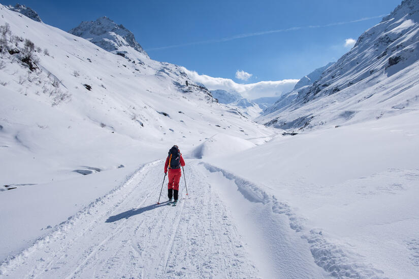
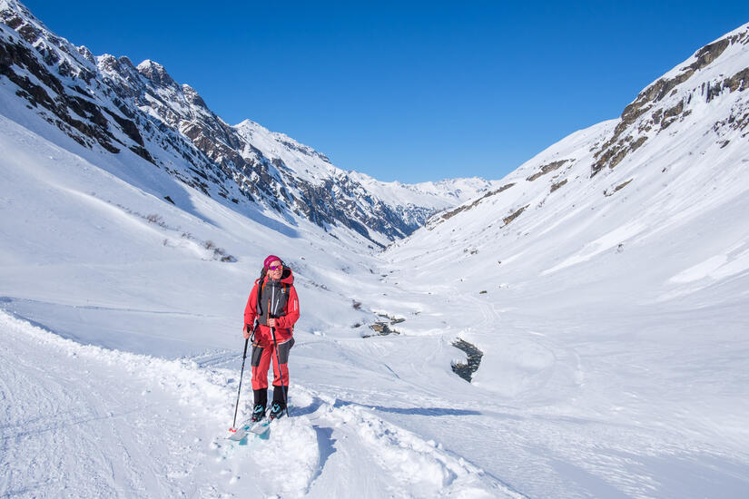
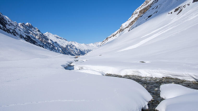
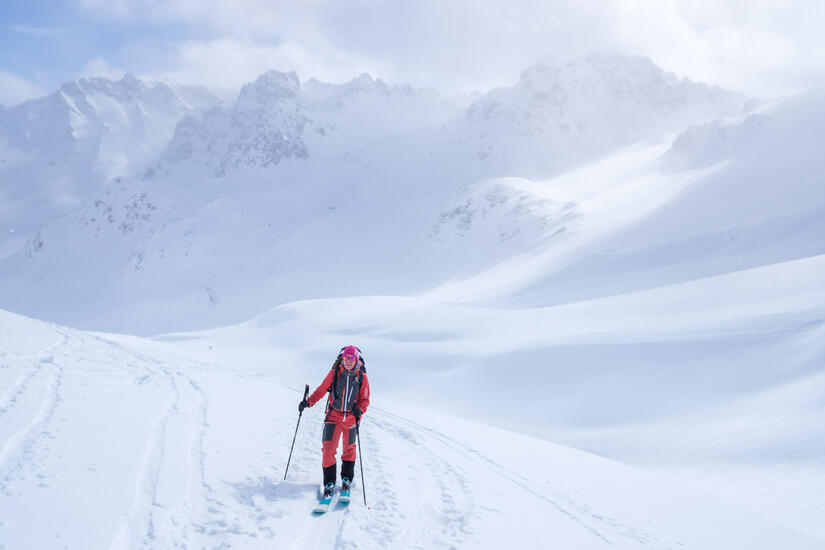
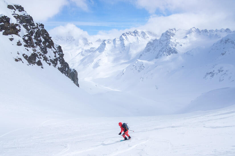
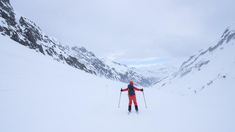
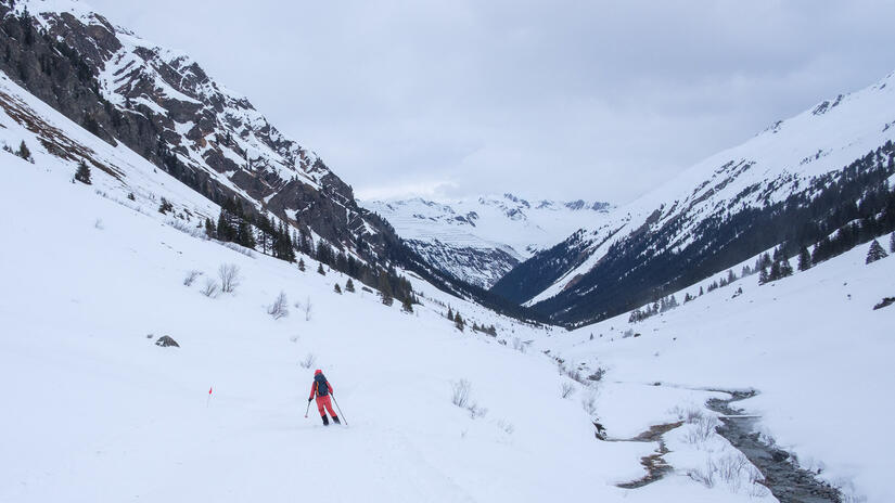
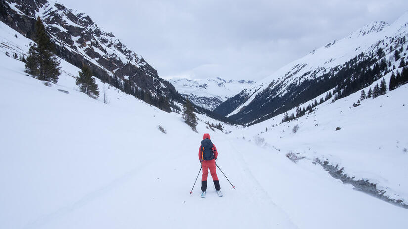
We set off from Munich via train in the morning and after a very smooth train journey, and a slightly less smooth bus journey which made me feel rather green, we arrived in Galtür in time for some bakery lunch prior to setting off for the hut. The skin up to the hut was beautiful, with snow from the village, a good track and wonderful scenery. It wasn’t long after we left Galtür that we started to feel like we were in the big mountains and fairly remote.
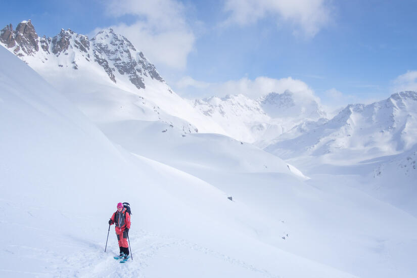
After a 10km skin in we arrived at the hut, where I was certainly feeling the lack of exercise from the previous few months! We didn’t really have time to head out for a tour, and by this point the cloud had started to come in. We enjoyed a nice afternoon relaxing at the hut before a brilliant dinner and an early evening in preparation for the main objective the next day.
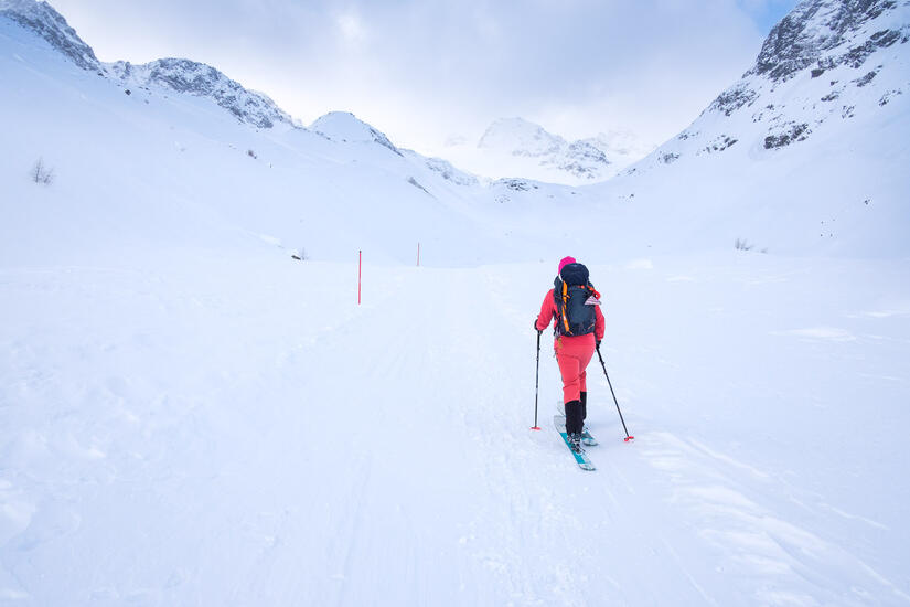
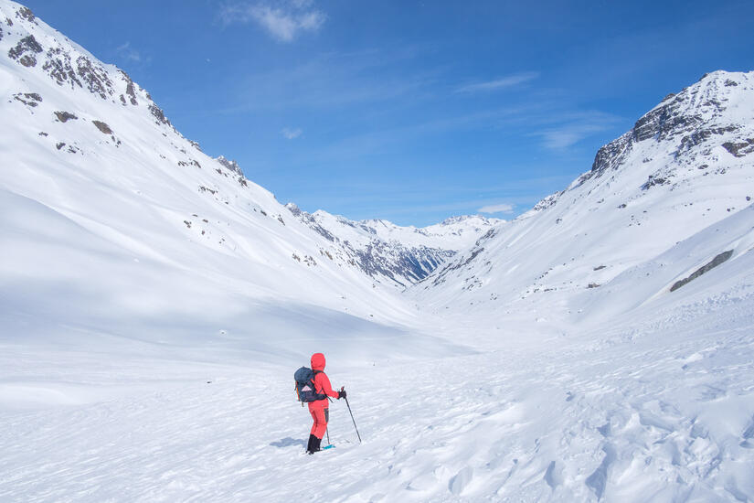
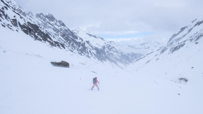
We were not really sure what to expect the next morning based on the weather forecast, but it is safe to say that there was more cloud and wind than we were hoping for. After a decent breakfast we set off with a plan of climbing the Hintere Jamspitze, the classic of the area. However we quickly realised that sticking with a route on the main ridge was not the most sensible option as this is where most of the cloud was.
The going quickly got tough, as despite there being a team in front of us, the wind rushing down the valley was quickly filling in all of the skin tracks and we were having to break trail through crust.
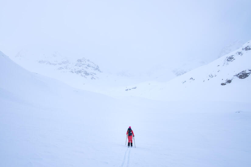
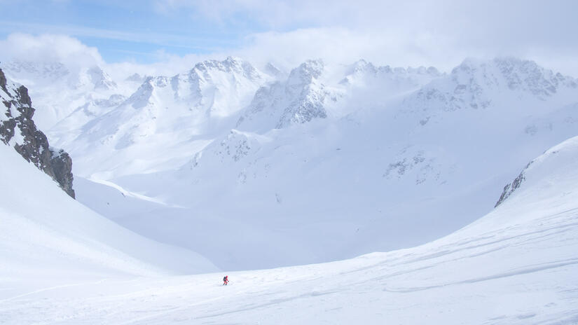
As we arrived at the Jamtalferner we made the decision to head to the Ochsenspitze instead, as this was out of the cloud and should have had a lovely view to the north. This also had the added advantage that we could follow the skin track from the group in front of us which mostly still existed, rather than continuing to break trail.
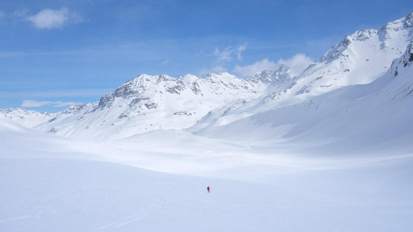
At this point we had climbed high enough to start getting wonderful views towards the north away from the main ridge which was great and we had fleeting views of some of the mountains nearer the main ridge as the cloud came and went.
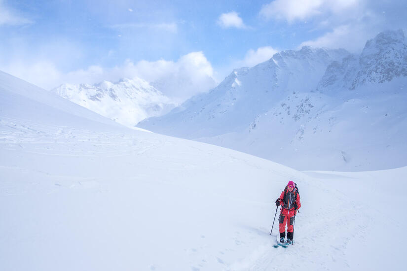
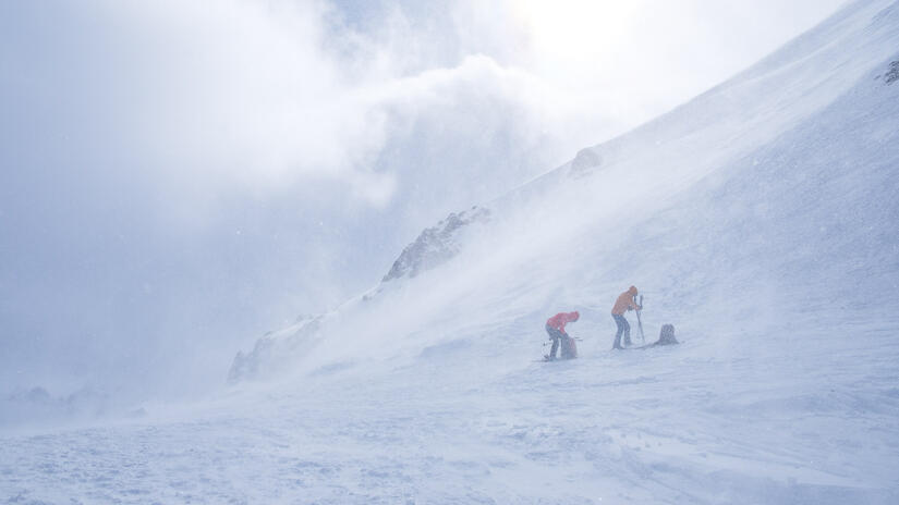
This was the point where the ascent become steeper and I certainly felt it, but we kept making relatively good progress and soon arrived just below the Tiroler Scharte, as the other group on our table were leaving it. They hadn’t climbed the peak as they didn’t have axes or crampons, but we had seen another team turn back, and given that as I moved onto the col I was blown over by the wind, there was not much discussion about if we were going to the summit or not!
Having spent a reasonable amount of time doing Scottish winter, I am no stranger to bad winter conditions, but this was something else. The constant wind was incredibly cold and was blowing snow around but the gusts were extremely strong and made it impossible to see. I decided to add a mid layer, which was a mistake as it meant I had to remove my gloves and I quickly lost all feeling in my hands. After too much rushed faff, we were both ready to descent and made a quick departure out of the wind.

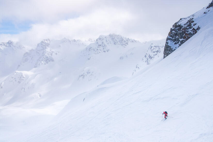
The initial part of the descent was ok to ski, but it quickly turned to horrible crust, which with our spent legs was very hard work. While the skiing had lots of room for improvement, the view was wonderful on the descent, and on our many stops to let our legs recover we were able to savour the view.
Thankfully the advantage of ski touring is that the descent doesn’t take very long and we were soon back at the hut, ready for the early afternoon soup and a well earnt beer.
The other team on our table went back out for another peak, we certainly had time to do it but not the motivation and their description when they came reassured us that we had made the correct decision as they said it was even worse than the first peak!
The forecast the next day had unfortunately also deteriorated, with heavy snow from 10am and 100km/h winds on the peaks, so we made the decision just to head back to the valley first thing to avoid the worst of the weather. When we woke up it was clear that the winds were even stronger than forecast, with measured gusts to 100km/h at the hut and 160km/h on the peak above the hut!
The ski out was surprisingly difficult with very flat light, random lumps of ice, fresh snow and the wind. The wind did have the advantage of pushing us along the flat sections of the descent, so there is always a silver lining!
After less than an hour we were back in Galtür and went to enjoy second breakfast and a coffee in the bakery while we sorted our bags for the journey back. It was a very pleasant way to travel back in our slightly sleep deprived/worn out states, as no one had to drive and we could just sit back and relax. Even the connections were easy, as for both of them the trains were sat waiting at the platform already so we didn’t even need to sit on the platform.
While this wasn’t as successful as my previous two ski mountaineering trips, it was still brilliant to be in the mountains and a good reminder at how brutal they can be in poor weather and I am looking forward to my next attempt.
Comments